Philbeach Gardens, London
Map

Map

Facts and practical information
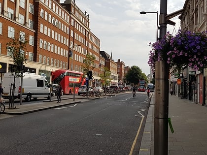
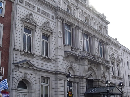
Philbeach Gardens is a communal garden square in the Earl's Court district of the Royal Borough of Kensington and Chelsea. ()
Coordinates: 51°29'28"N, 0°11'56"W
Address
Kensington and Chelsea (Earl's Court)London
ContactAdd
Social media
Add
Day trips
Philbeach Gardens – popular in the area (distance from the attraction)
Nearby attractions include: Kensington High Street, Queen's Club, Brompton Cemetery, Earls Court Exhibition Centre.
Frequently Asked Questions (FAQ)
Which popular attractions are close to Philbeach Gardens?
Nearby attractions include St Cuthbert's, London (3 min walk), Earls Court Exhibition Centre, London (5 min walk), Lillie Bridge, London (8 min walk), The Troubadour, London (9 min walk).
How to get to Philbeach Gardens by public transport?
The nearest stations to Philbeach Gardens:
Bus
Metro
Train
Ferry
Bus
- Earls Court Station • Lines: 328, 74, C1, C3, N31, N74, N97 (3 min walk)
- Warwick Road Tesco • Lines: C3 (5 min walk)
Metro
- Earl's Court • Lines: District, Piccadilly (6 min walk)
- West Kensington • Lines: District (8 min walk)
Train
- Imperial Wharf (34 min walk)
- Shepherd's Bush (34 min walk)
Ferry
- Chelsea Harbour Pier • Lines: Rb6 (37 min walk)

 Tube
Tube


