Wheatley Hills, Doncaster

Map
Facts and practical information
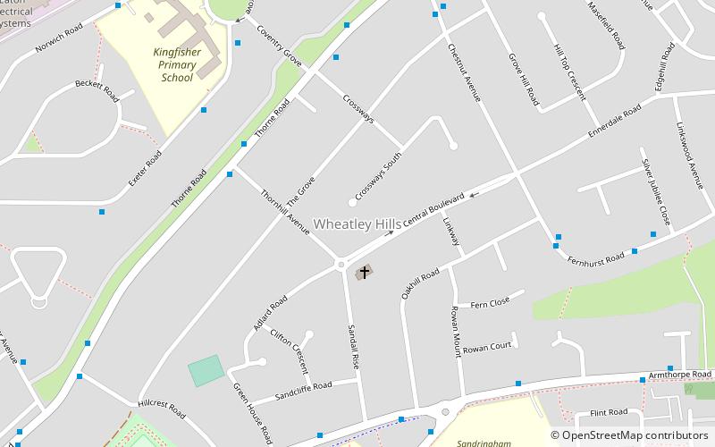
Wheatley Hills is a suburb of Doncaster, South Yorkshire, England. It is situated around 2 miles north-east of the town centre. The Wheatley Hills & Intake ward within the Metropolitan Borough of Doncaster had a population of 17,733 at the 2011 census. ()
Coordinates: 53°32'14"N, 1°5'57"W
Address
Doncaster
ContactAdd
Social media
Add
Day trips
Wheatley Hills – popular in the area (distance from the attraction)
Nearby attractions include: Doncaster Racecourse, Sandall Park, Doncaster Museum and Art Gallery, Our Lady of Doncaster.
Frequently Asked Questions (FAQ)
Which popular attractions are close to Wheatley Hills?
Nearby attractions include Sandall Park, Doncaster (18 min walk), Go Bounce Extreme Trampoline Park, Doncaster (23 min walk).


