XS Malarkey, Manchester
Map
Facts and practical information
XS Malarkey is a not for profit comedy club in Manchester. ()
Coordinates: 53°26'48"N, 2°13'7"W
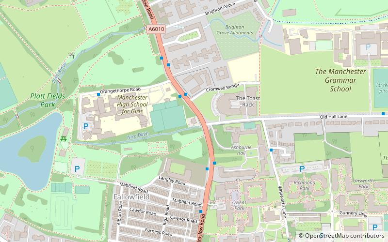
Address
FallowfieldManchester
ContactAdd
Social media
Add
Getting there by public transportation
Public transportation stops near this location
- Bus
- Train
 Bus
Bus
- Calculate routeOwens Park, Wilmslow Road / near Old Hall Lane 2 min walk
- Calculate routeMauldeth Road 26 min walk
- Calculate routeLevenshulme 28 min walk
Maps MetrolinkMaps
 Metrolink / Rail
MetrolinkMapsMetrolink / RailDay trips


Frequently Asked Questions (FAQ)
Which popular attractions are close to XS Malarkey?
Nearby attractions include Appleby Lodge, Manchester (4 min walk), Platt Fields Park, Manchester (7 min walk), South Manchester Synagogue, Manchester (9 min walk), Holy Trinity Platt Church, Manchester (10 min walk).
How to get to XS Malarkey by public transport?
The nearest stations to XS Malarkey:
Bus
Train
Bus
- Owens Park, Wilmslow Road / near Old Hall Lane • Lines: 42, 42B, 42C (2 min walk)
Train
- Mauldeth Road (26 min walk)
- Levenshulme (28 min walk)