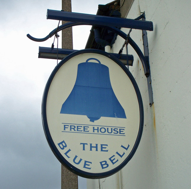
The Blue Bell, Barton-upon-Humber

Gallery (2)
Map
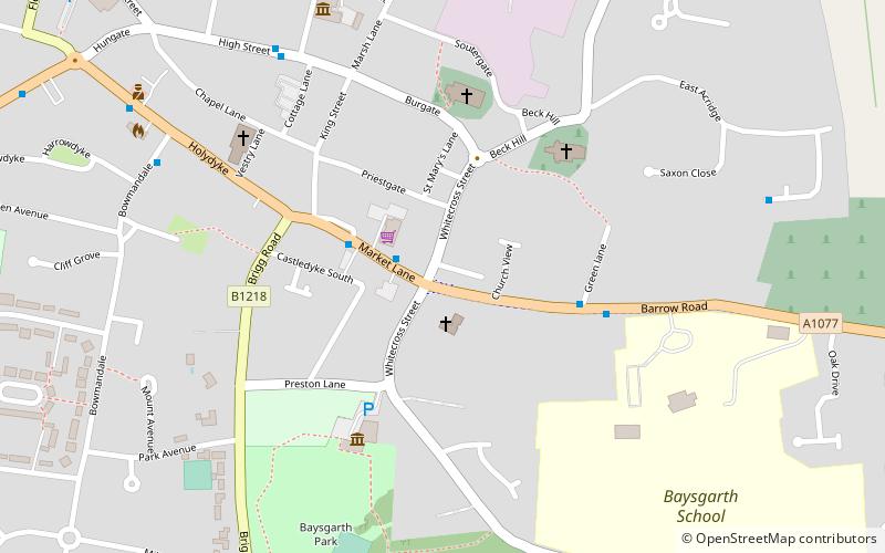
Map
Gallery
Facts and practical information
The Blue Bell is a grade II listed building and former public house in Barton-upon-Humber, North Lincolnshire, England. ()
Coordinates: 53°40'56"N, 0°26'14"W
Address
Barton-upon-Humber
ContactAdd
Social media
Add
Getting there by public transportation
Public transportation stops near this location
- Train
 Train
Train
- Calculate routeBarton-on-Humber 14 min walk
Day trips


Frequently Asked Questions (FAQ)
Which popular attractions are close to The Blue Bell?
Nearby attractions include Baysgarth House Museum, Barton-upon-Humber (4 min walk), St Peter's Church, Barton-upon-Humber (4 min walk), Wilderspin National School, Barton-upon-Humber (6 min walk), Baysgarth Park, Barton-upon-Humber (8 min walk).
How to get to The Blue Bell by public transport?
The nearest stations to The Blue Bell:
Train
Train
- Barton-on-Humber (14 min walk)