Dorket Head, Nottingham
Map

Map

Facts and practical information
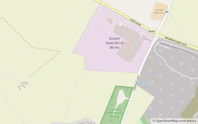
Dorket Head is the name of the immediate area surrounding the junction of Lime Lane and Calverton Road in the town of Arnold, Nottinghamshire. ()
Coordinates: 53°1'12"N, 1°7'12"W
Address
Nottingham
ContactAdd
Social media
Add
Day trips
Dorket Head – popular in the area (distance from the attraction)
Nearby attractions include: Ramsdale Park Golf Centre, St Mary's Church, Arnold, Cross Street Baptist Church.
Frequently Asked Questions (FAQ)
How to get to Dorket Head by public transport?
The nearest stations to Dorket Head:
Bus
Bus
- Mansfield Road • Lines: Pronto, Sa (12 min walk)
- Albion Rise • Lines: 58 (17 min walk)


