Marshside RSPB reserve, Southport

Gallery (2)
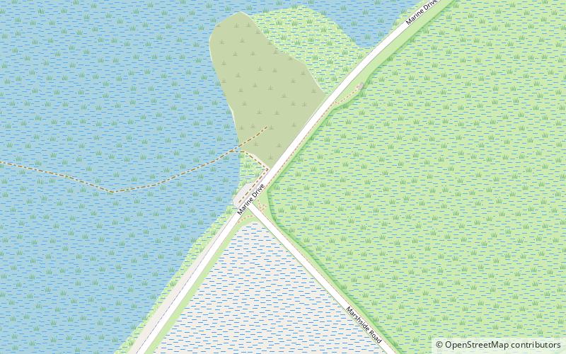
Map
Map
Gallery
Facts and practical information
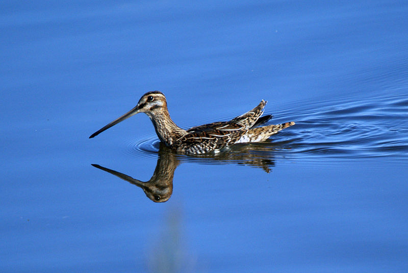
Marshside is a wetland nature reserve operated by the RSPB in the Marshside area of Southport, Merseyside, England. It lies 2 kilometres north of the centre of Southport, on the southern side of the Ribble estuary, and is part of the wider Ribble & Alt Estuaries Ramsar reserve. and the Ribble Estuary National Nature Reserve. ()
Elevation: 23 ft a.s.l.Coordinates: 53°40'37"N, 2°58'51"W
Address
Southport
ContactAdd
Social media
Add
Getting there by public transportation
Public transportation stops near this location
- Bus
 Bus
Bus
- Calculate routePreston New Road/North Road 28 min walk
Day trips


Frequently Asked Questions (FAQ)
How to get to Marshside RSPB reserve by public transport?
The nearest stations to Marshside RSPB reserve:
Bus
Bus
- Preston New Road/North Road • Lines: 347 (28 min walk)