Pentreath, Lizard
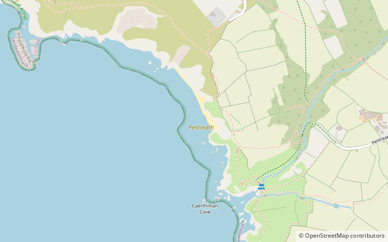
Map
Facts and practical information
Higher Pentreath and Lower Pentreath are hamlets to the west of Praa Sands, within the parish of Breage. They are south of the A394 between Penzance and Helston in Cornwall, United Kingdom. ()
Coordinates: 49°58'12"N, 5°13'7"W
Address
Lizard
ContactAdd
Social media
Add
Day trips
Pentreath – popular in the area (distance from the attraction)
Nearby attractions include: Lizard Lighthouse, St Grada and Holy Cross Church, Kynance Cove, Asparagus Island.


