Epsom Rural District, Ashtead

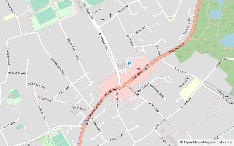
Map
Facts and practical information
Epsom was a rural district of Surrey from 1894 to 1933. ()
Coordinates: 51°18'36"N, 0°18'0"W
Address
Ashtead
ContactAdd
Social media
Add
Day trips
Epsom Rural District – popular in the area (distance from the attraction)
Nearby attractions include: Church of St Mary & St Nicholas, Church of Our Lady and St Peter, Ashtead Park, Woodcote Millennium Green.


