Bishop Bridge, Norwich
Map
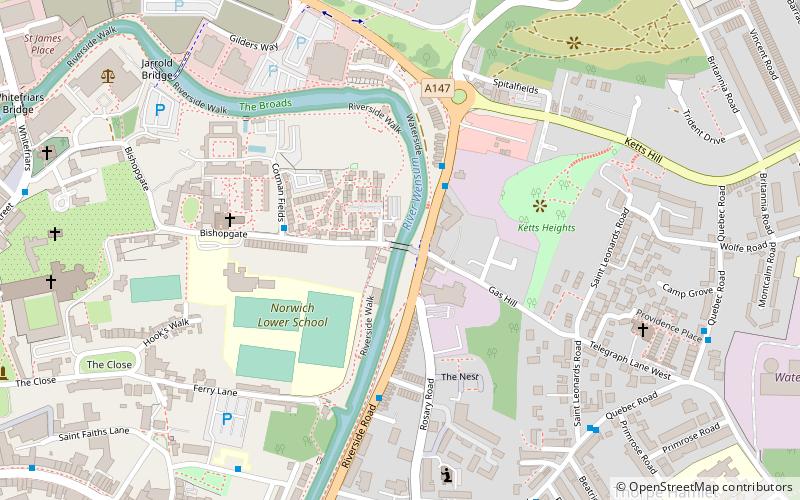
Map

Facts and practical information
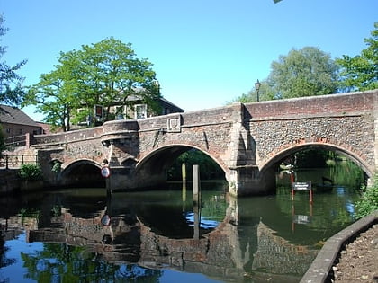
Bishop Bridge is a medieval bridge across the River Wensum located to the east of Norwich, England. It was built in 1340 and is still in use in the twenty-first century. A gatehouse, completed in 1343, was located on the bridge until 1791. ()
Coordinates: 52°37'57"N, 1°18'31"E
Address
Thorpe (Thorpe Hamlet)Norwich
ContactAdd
Social media
Add
Day trips
Bishop Bridge – popular in the area (distance from the attraction)
Nearby attractions include: Norwich Cathedral, Cow Tower, Cinema City, Hungate Medieval Art.
Frequently Asked Questions (FAQ)
Which popular attractions are close to Bishop Bridge?
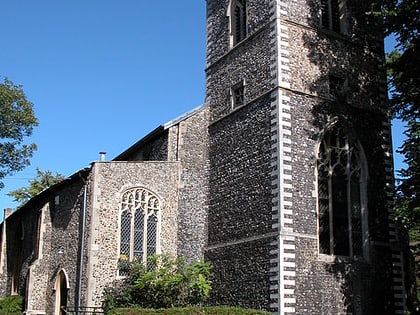
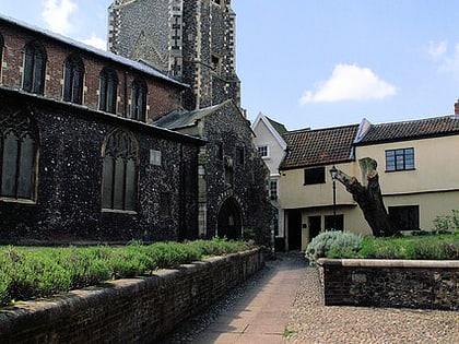
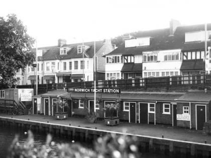
Nearby attractions include Cow Tower, Norwich (4 min walk), Pulls Ferry, Norwich (4 min walk), St Helen's Church, Norwich (5 min walk), Norwich Yacht Station, Norwich (5 min walk).
How to get to Bishop Bridge by public transport?
The nearest stations to Bishop Bridge:
Bus
Train
Bus
- Bishop Bridge Road • Lines: 23, 23A, 23B, 24, 24A, 36 (2 min walk)
- Bishopsgate / Cotman Fields • Lines: 57 (3 min walk)
Train
- Norwich (11 min walk)
