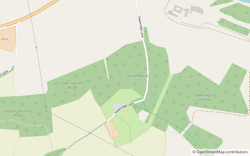
Wycombe District, High Wycombe

Map
Facts and practical information
Wycombe District was a local government district in Buckinghamshire in south-central England. Its council was based in the town of High Wycombe. The district was abolished on 31 March 2020 and its area is now administered by the unitary Buckinghamshire Council. ()
Day trips
Wycombe District – popular in the area (distance from the attraction)
Nearby attractions include: West Wycombe Park, Adams Park, Hellfire Caves, St Lawrence's Church.
Frequently Asked Questions (FAQ)
Which popular attractions are close to Wycombe District?
Nearby attractions include West Wycombe Park, High Wycombe (8 min walk), St Paul's Church, High Wycombe (15 min walk), Hellfire Caves, High Wycombe (15 min walk), St Lawrence's Church, High Wycombe (16 min walk).
How to get to Wycombe District by public transport?
The nearest stations to Wycombe District:
Bus
Bus
- Pinewood Road • Lines: 48 (26 min walk)
- Lane End Road • Lines: 48 (28 min walk)


