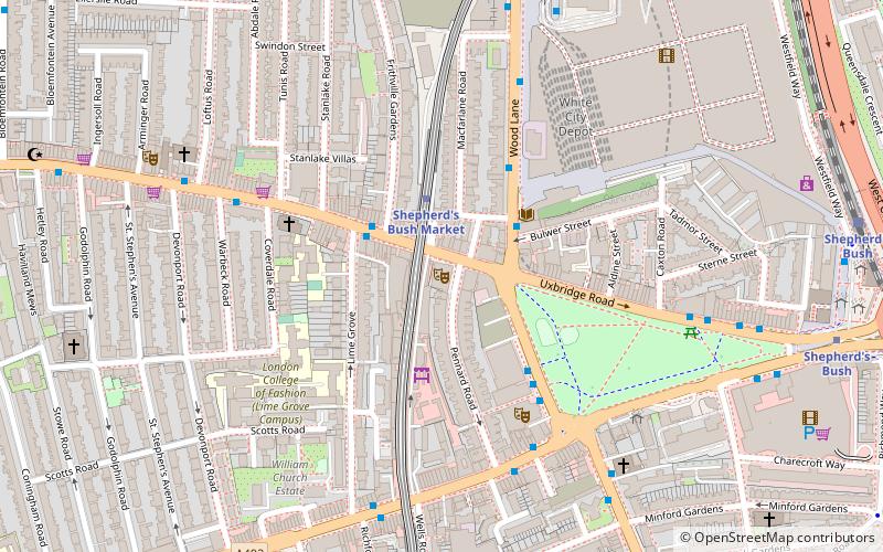
St Katherine Westway, London
Map

Map

Facts and practical information
St Katherine Westway is a Church of England parish church in Hammersmith, west London. Its original dedication was St Catherine Coleman, named after the church of St Katherine Coleman in the City of London, whose sale funded its construction in 1922, to a design by Robert Atkinson - it was assigned a parish in 1929. Westway refers to Westway, the road beside which it stands. The original church was destroyed by bombing on 14 September 1940 and the foundation stone for the present one was laid on 25 October 1958. ()
Coordinates: 51°30'53"N, 0°14'35"W
Day trips
St Katherine Westway – popular in the area (distance from the attraction)
Nearby attractions include: Westfield London, Loftus Road, West 12, Kensal Green Cemetery.
Frequently Asked Questions (FAQ)
Which popular attractions are close to St Katherine Westway?
Nearby attractions include Wormwood Scrubs, London (13 min walk), St Michael and St George, London (15 min walk), Hammersmith Park, London (18 min walk), Bush Hall, London (19 min walk).
How to get to St Katherine Westway by public transport?
The nearest stations to St Katherine Westway:
Bus
Metro
Train
Bus
- Hemlock Road • Lines: 95 (1 min walk)
- Wulfstan Street • Lines: 272, 283, 7, 70, 72, N7, N72 (2 min walk)
Metro
- East Acton • Lines: Central (8 min walk)
- White City • Lines: Central (22 min walk)
Train
- Acton Central (25 min walk)
- Acton Main Line (28 min walk)

 Tube
Tube


