Poultry, Nottingham
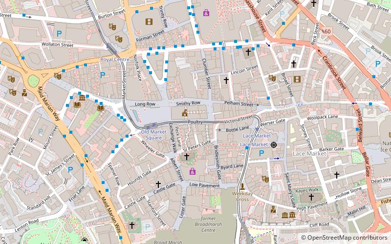
Map
Map

Facts and practical information
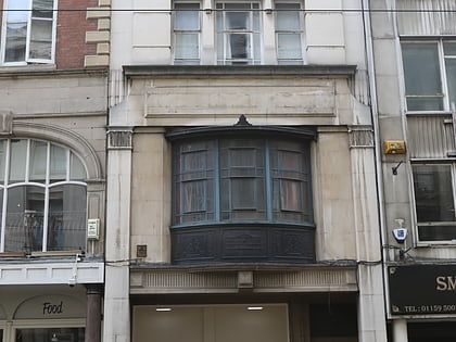
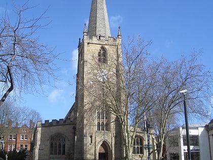
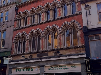
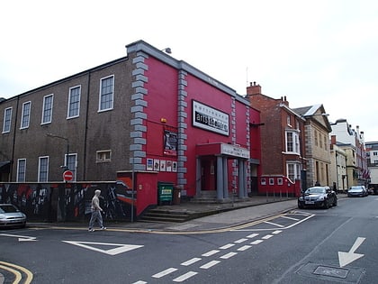
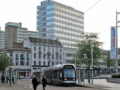
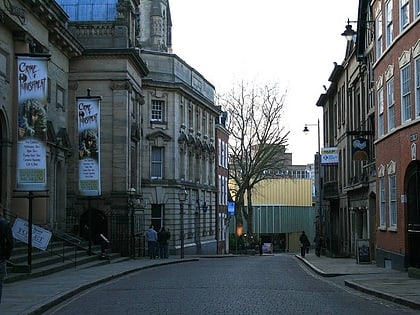
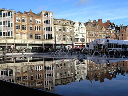
Poultry is a row of buildings in Nottingham City Centre between Flying Horse Inn and Victoria Street. It is the name of the south side of the street, the north side being known as Cheapside. ()
Coordinates: 52°57'11"N, 1°8'53"W
Address
BridgeNottingham
ContactAdd
Social media
Add
Day trips
Poultry – popular in the area (distance from the attraction)
Nearby attractions include: Nottingham Council House, Old Market Square, City of Caves, Nottingham Contemporary.
Frequently Asked Questions (FAQ)
Which popular attractions are close to Poultry?
Nearby attractions include Nottingham Council House, Nottingham (1 min walk), Nottingham city centre, Nottingham (1 min walk), Flying Horse Walk, Nottingham (2 min walk), Old Market Square, Nottingham (3 min walk).
How to get to Poultry by public transport?
The nearest stations to Poultry:
Tram
Bus
Train
Tram
- Old Market Square • Lines: 1, 2 (3 min walk)
- Lace Market • Lines: 1, 2 (3 min walk)
Bus
- Fletcher Gate • Lines: 10, 11, 11C, 34, 5, 6, 7, 76, 77, 78, 79, 8, 9, Citylink 1, L1, N34, N77, W1 (3 min walk)
- King Street • Lines: 100, 24, 25, 26, 27, 43, 44, 44A, N100, N27 (3 min walk)
Train
- Nottingham (11 min walk)
