Level of Mendalgief, Newport
Map
Map

Facts and practical information
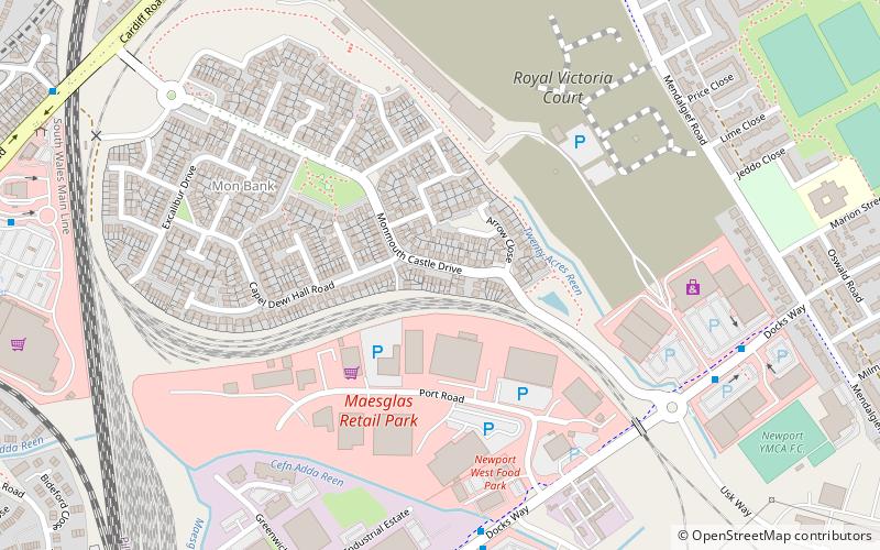
The Level of Mendalgief is a small area to the south west of the city centre of the city of Newport in the Pill ward. The level is bounded by Cardiff Road to the north, Mendalgief Road to the east, Docks Way to the south and the Great Western Main Line to the west. The area formerly contained the Monmouthshire Bank sidings, but it is due to be regenerated into a new residential area. ()
Coordinates: 51°34'23"N, 3°0'4"W
Address
Newport
ContactAdd
Social media
Add
Day trips
Level of Mendalgief – popular in the area (distance from the attraction)
Nearby attractions include: High Street, Friars Walk, Rodney Parade, Kingsway Shopping Centre.
Frequently Asked Questions (FAQ)
Which popular attractions are close to Level of Mendalgief?
Nearby attractions include Belle Vue Park, Newport (11 min walk), Maesglas, Newport (16 min walk), Newport Transporter Bridge, Newport (16 min walk), Newport Cathedral, Newport (18 min walk).
How to get to Level of Mendalgief by public transport?
The nearest stations to Level of Mendalgief:
Bus
Train
Bus
- Handpost • Lines: 151 (21 min walk)
- West Park Road • Lines: 151, 50 (21 min walk)
Train
- Newport (28 min walk)


