Cobham Woods, Strood
Map

Map

Facts and practical information
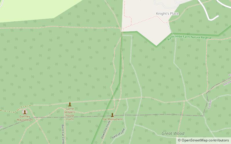
Cobham Woods is a 242.7 hectares biological Site of Special Scientific Interest on the western outskirts of Rochester in Kent. It is in the Kent Downs Area of Outstanding Natural Beauty and part of it is managed by the National Trust. ()
Coordinates: 51°23'28"N, 0°26'26"E
Address
CobhamStrood
ContactAdd
Social media
Add
Day trips
Cobham Woods – popular in the area (distance from the attraction)
Nearby attractions include: Shorne Wood Country Park, Great Crabbles Wood, Shorne and Ashenbank Woods, Ranscombe Farm.
Frequently Asked Questions (FAQ)
How to get to Cobham Woods by public transport?
The nearest stations to Cobham Woods:
Bus
Train
Bus
- Old Watling Street • Lines: 700 (23 min walk)
- Bligh Way Shops • Lines: 700 (23 min walk)
Train
- Cuxton (39 min walk)


