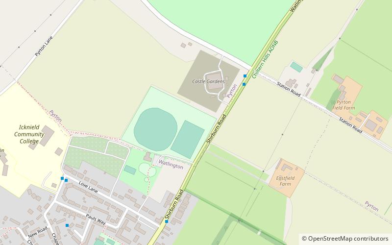
OX postcode area, Watlington

Map
Facts and practical information
The OX postcode area, also known as the Oxford postcode area, is a group of 26 postcode districts in south-central England, within 17 post towns. These cover most of Oxfordshire, plus very small parts of Northamptonshire, Buckinghamshire, Berkshire, Gloucestershire and Warwickshire. ()
Coordinates: 51°38'58"N, 1°0'3"W
Address
Watlington
ContactAdd
Social media
Add
Day trips
OX postcode area – popular in the area (distance from the attraction)
Nearby attractions include: Watlington and Pyrton Hills, Watlington Chalk Pit, St Mary's Church, Shirburn Castle.


