The Victoria, Bristol
Map
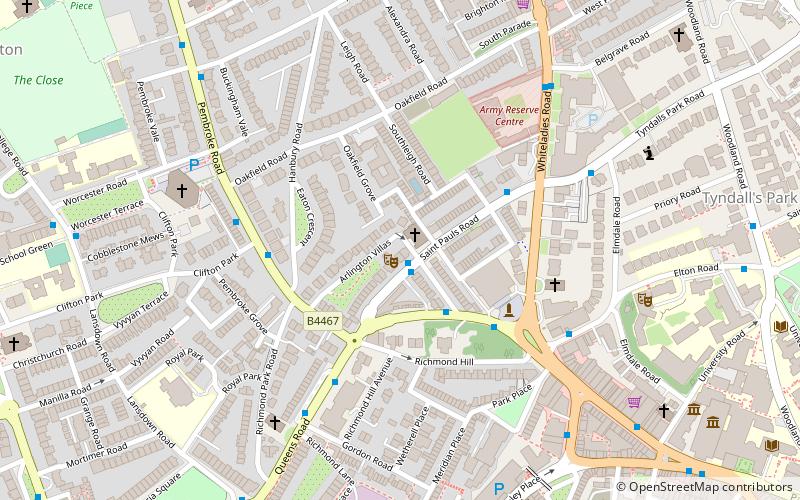
Map

Facts and practical information
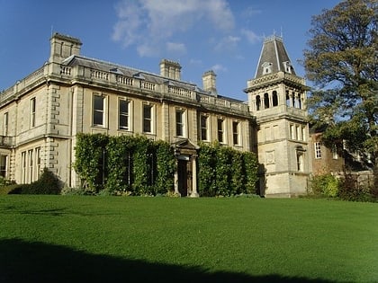
The Victoria is a public house dating from 1867. It was built using part of the front building of The Lido, Bristol. Inside there are two rooms and an original 19th century fireplace, with the remainder of fixtures and fittings replaced more recently. The Victoria was designated Grade II* listed building status in 1998. ()
Coordinates: 51°27'32"N, 2°36'42"W
Address
Clifton EastBristol
ContactAdd
Social media
Add
Day trips
The Victoria – popular in the area (distance from the attraction)
Nearby attractions include: Bristol Museum & Art Gallery, Lido, Whiteladies Road, Park Street.
Frequently Asked Questions (FAQ)
Which popular attractions are close to The Victoria?
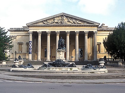
Nearby attractions include St Paul's Church, Bristol (1 min walk), Victoria Rooms, Bristol (3 min walk), Royal West of England Academy, Bristol (4 min walk), Buckingham Baptist Chapel, Bristol (6 min walk).
How to get to The Victoria by public transport?
The nearest stations to The Victoria:
Bus
Train
Ferry
Bus
- Sutherland Place • Lines: 8 (1 min walk)
- Sunderland Place • Lines: 8, 9 (2 min walk)
Train
- Clifton Down (10 min walk)
- SS Great Britain (21 min walk)
Ferry
- Capricorn Quay (17 min walk)
- Mardyke • Lines: Hotwells-Centre (18 min walk)


