School Knott, Windermere
Map

Map

Facts and practical information
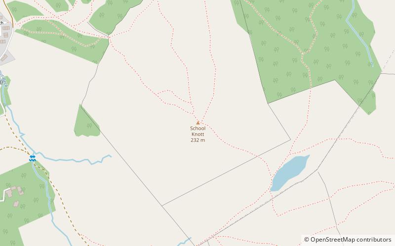
School Knott is a hill in the Lake District, England, to the east of Windermere town, Cumbria. It is the subject of a chapter of Wainwright's book The Outlying Fells of Lakeland. His recommended route starts at Windermere railway station and includes Grandsire at 818 feet and a nameless summit at 806 feet. The summit is at 760 feet and offers a view of four sections of Windermere, the lake. It has a rocky outcrop but no trig point and, as reported by Wainwright, no cairn. Schoolknott Tarn is to the south-east of the summit. ()
Coordinates: 54°22'8"N, 2°53'8"W
Address
Windermere
ContactAdd
Social media
Add
Day trips
School Knott – popular in the area (distance from the attraction)
Nearby attractions include: Orrest Head, St Mary's Church, Brant Fell, Kankku.
Frequently Asked Questions (FAQ)
How to get to School Knott by public transport?
The nearest stations to School Knott:
Bus
Train
Bus
- School Knott Shops • Lines: 597 (14 min walk)
- Limethwaite Road at Park Road • Lines: 597 (18 min walk)
Train
- Windermere (27 min walk)


