Carmarthen Priory, Carmarthen

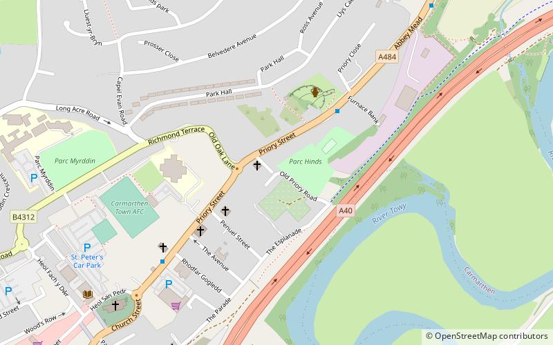
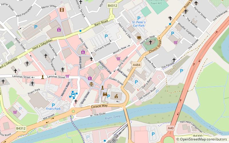
Map
Facts and practical information
Carmarthen Priory, now virtually disappeared, was a monastic settlement which pre-dated the Norman Conquest. It was dedicated to St John the Evangelist and the Celtic saint Teulyddog. The Black Book of Carmarthen, an early Welsh language text, is believed to have been created at the Priory. ()
Coordinates: 51°51'38"N, 4°17'52"W
Address
Carmarthen
ContactAdd
Social media
Add
Day trips
Carmarthen Priory – popular in the area (distance from the attraction)
Nearby attractions include: Richmond Park, Carmarthen Castle, St Peter's Church, English Baptist Church.
Frequently Asked Questions (FAQ)
Which popular attractions are close to Carmarthen Priory?
Nearby attractions include Penuel Baptist Chapel, Carmarthen (3 min walk), Eglwys Sant Ioan, Carmarthen (4 min walk), St Peter's Church, Carmarthen (8 min walk), Carmarthen Public Rooms, Carmarthen (11 min walk).
How to get to Carmarthen Priory by public transport?
The nearest stations to Carmarthen Priory:
Bus
Train
Bus
- Reservoir Road • Lines: T1 (8 min walk)
- Abergwili Roundabout • Lines: T1 (14 min walk)
Train
- Carmarthen (16 min walk)
- Abergwili Junction (24 min walk)


