Newport Ship, Newport
Map
Gallery
Facts and practical information
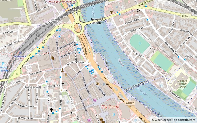
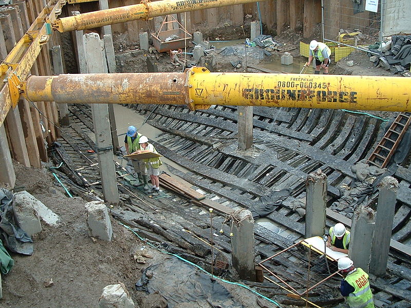
The Newport Ship is a mid-fifteenth-century sailing vessel discovered by archaeologists in June 2002 in the city of Newport, South East Wales. It was found on the west bank of the River Usk, which runs through the city centre, during the building of the Riverfront Arts Centre; from which process it sustained some damage. The official name of the vessel is now the Newport Medieval Ship, to help distinguish it from other historical vessels. ()
Coordinates: 51°35'18"N, 2°59'37"W
Day trips
Newport Ship – popular in the area (distance from the attraction)
Nearby attractions include: High Street, Friars Walk, Rodney Parade, Kingsway Shopping Centre.
Frequently Asked Questions (FAQ)
Which popular attractions are close to Newport Ship?
Nearby attractions include The Riverfront, Newport (1 min walk), Ye Olde Murenger House, Newport (4 min walk), Newport Market, Newport (4 min walk), John Frost Square, Newport (4 min walk).
How to get to Newport Ship by public transport?
The nearest stations to Newport Ship:
Bus
Train
Bus
- Newport Bus Station (2 min walk)
- Newport Friars Walk • Lines: 27, 28 (2 min walk)
Train
- Newport (8 min walk)
