Tilgate, Crawley
Map
Map

Facts and practical information
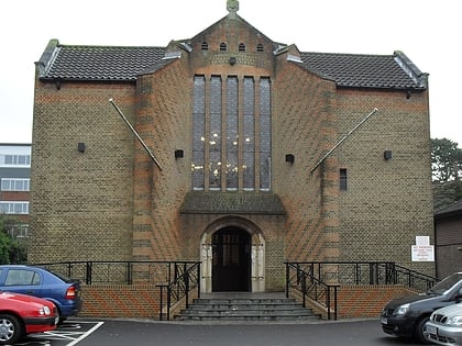
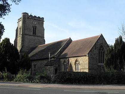
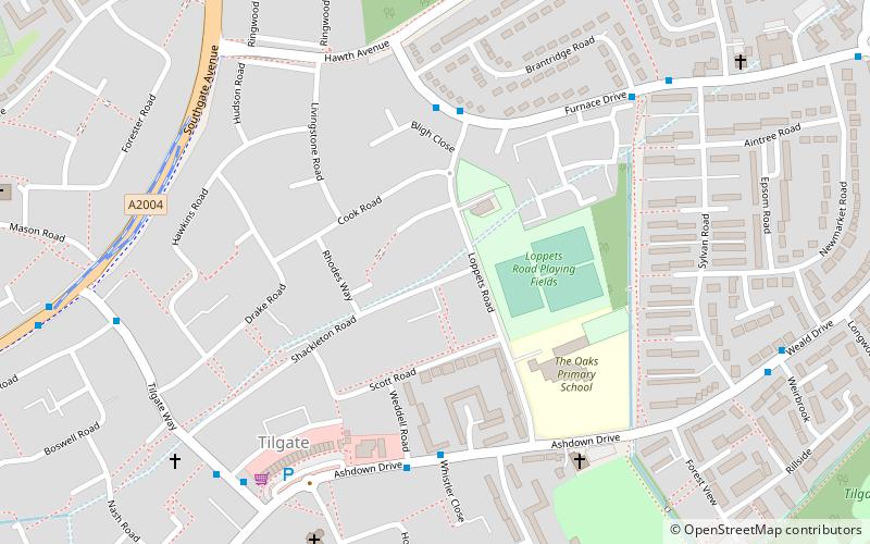
Tilgate is one of 14 neighbourhoods within the town of Crawley in West Sussex, England. The area contains a mixture of privately developed housing, self-build groups and ex-council housing. It is bordered by the districts of Furnace Green to the north east, Southgate to the north west and Broadfield to the south west. ()
Address
TilgateCrawley
ContactAdd
Social media
Add
Day trips
Tilgate – popular in the area (distance from the attraction)
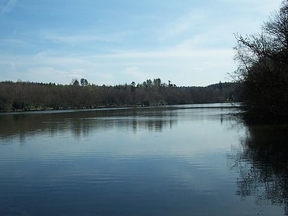
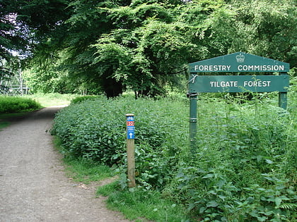
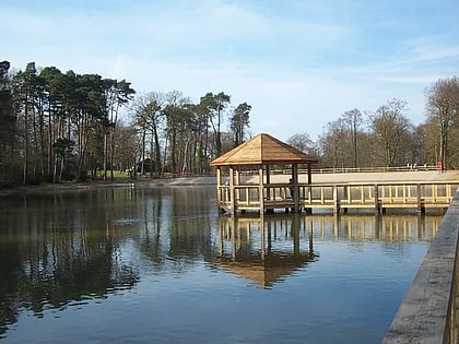
Nearby attractions include: Broadfield Stadium, Tilgate Forest Golf Centre, Tilgate Park, Tilgate Lake.
Frequently Asked Questions (FAQ)
Which popular attractions are close to Tilgate?
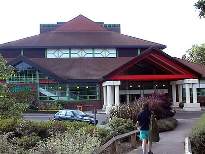
Nearby attractions include Hawth Theatre, Crawley (13 min walk), Southgate, Crawley (17 min walk), Tilgate Lake, Crawley (17 min walk), Tilgate Forest, Crawley (18 min walk).
How to get to Tilgate by public transport?
The nearest stations to Tilgate:
Bus
Train
Bus
- Loppets Road • Lines: 2, 610, 693 (4 min walk)
- Whistler Close • Lines: 2, 610, 693 (5 min walk)
Train
- Crawley (17 min walk)
- Three Bridges (30 min walk)


