Glandford Watermill, Norfolk Coast AONB

Gallery (1)
Map
Map
Facts and practical information
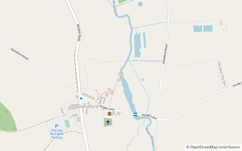
Glandford watermill is situated on the River Glaven a little north of the village of Glandford within the English county of Norfolk. Glandford is in the civil parish of Wiveton within the district of North Norfolk. ()
Coordinates: 52°55'60"N, 1°2'26"E
Address
Norfolk Coast AONB
ContactAdd
Social media
Add
Day trips


