Nottingham College, Nottingham
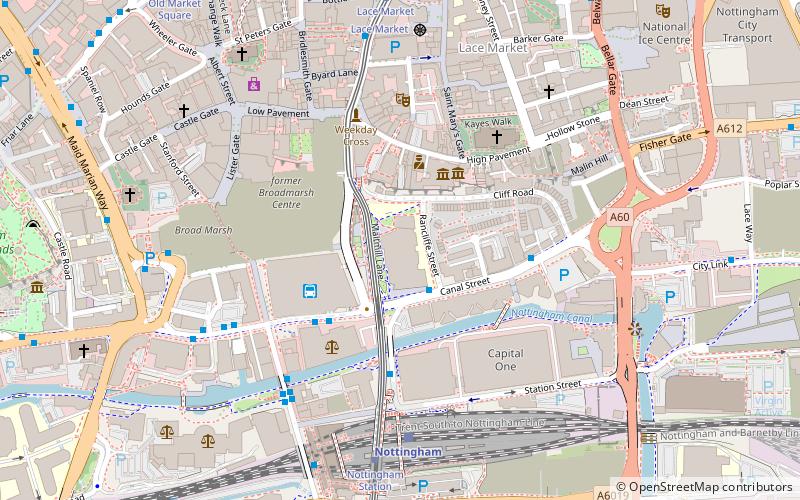
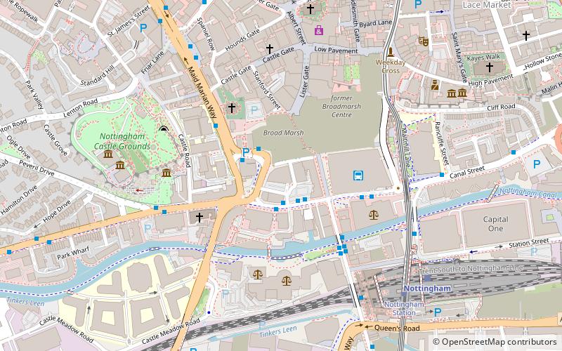
Map
Facts and practical information
Nottingham College is one of the largest further education and higher education colleges in the United Kingdom. Based in the city of Nottingham in England, it provides education and training from pre-entry through to university-degree level at its 10 centres in the city and around Nottinghamshire. ()
Coordinates: 52°56'59"N, 1°8'43"W
Getting there by public transportation
Public transportation stops near this location
- Bus
- Tram
- Train
 Bus
Bus
- Calculate routePopham Street 2 min walk
- Calculate routeCanal Street 3 min walk
- Calculate routeNottingham Station 5 min walk
- Calculate routeFletcher Gate 5 min walk
- Calculate routeNottingham 5 min walk
- Calculate routeNottingham Station 6 min walk
- Calculate routeLace Market 6 min walk
- Calculate routeOld Market Square 8 min walk
- Calculate routeRoyal Centre 12 min walk
Day trips
Nottingham College – popular in the area (distance from the attraction)
Nearby attractions include: Ye Olde Trip to Jerusalem, intu Broadmarsh, Nottingham Council House, National Ice Centre.


Frequently Asked Questions (FAQ)
Which popular attractions are close to Nottingham College?
Nearby attractions include National Justice Museum, Nottingham (3 min walk), City of Caves, Nottingham (3 min walk), Nottingham Contemporary, Nottingham (3 min walk), County War Memorial, Nottingham (3 min walk).
How to get to Nottingham College by public transport?
The nearest stations to Nottingham College:
Bus
Train
Tram
Bus
- Popham Street • Lines: 50 (2 min walk)
- Canal Street • Lines: 50 (3 min walk)
Train
- Nottingham (5 min walk)
Tram
- Nottingham Station • Lines: 1, 2 (6 min walk)
- Lace Market • Lines: 1, 2 (6 min walk)