Lôn Las Ogwen, Bangor
Map

Map

Facts and practical information
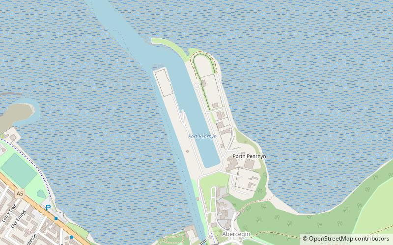
Lôn Las Ogwen is a 17.7 km cycle route in the National Cycle Network which runs south from the NCN 5 at Porth Penrhyn on the north coast of Wales to Llyn Ogwen in Snowdonia. Lôn Las is Welsh for "Green Lane". ()
Coordinates: 53°14'5"N, 4°6'41"W
Address
Bangor
ContactAdd
Social media
Add
Day trips
Lôn Las Ogwen – popular in the area (distance from the attraction)
Nearby attractions include: Penrhyn Castle, Bangor Cathedral, St Deiniol Golf Club, Penrhyn Castle Railway Museum.
Frequently Asked Questions (FAQ)
Which popular attractions are close to Lôn Las Ogwen?
Nearby attractions include Port Penrhyn, Bangor (1 min walk), Garth Community Centre, Bangor (12 min walk), Garth Pier, Bangor (16 min walk), Maesgeirchen, Bangor (19 min walk).
How to get to Lôn Las Ogwen by public transport?
The nearest stations to Lôn Las Ogwen:
Bus
Train
Bus
- Bangor Bus Station • Lines: 79 (20 min walk)
- Bangor bus station (20 min walk)
Train
- Bangor (34 min walk)


