Londinium, London
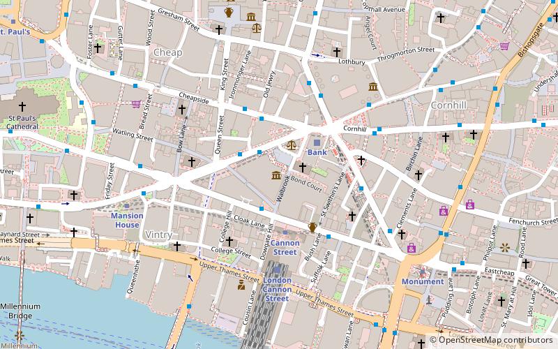
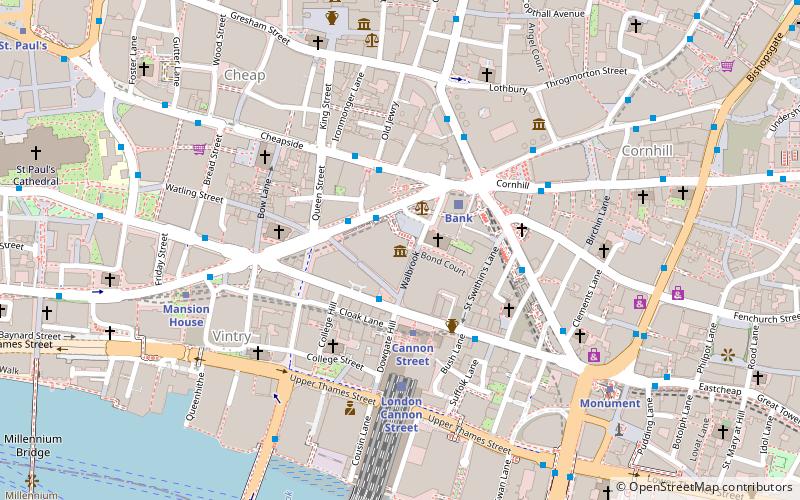
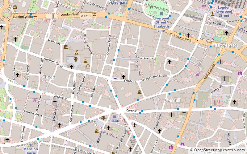
Map
Facts and practical information
Londinium, also known as Roman London, was the capital of Roman Britain during most of the period of Roman rule. It was originally a settlement established on the current site of the City of London around AD 47–50. It sat at a key crossing point over the River Thames which turned the city into a road nexus and major port, serving as a major commercial centre in Roman Britain until its abandonment during the 5th century. ()
Address
City of London (Cordwainer)London
ContactAdd
Social media
Add
Getting there by public transportation
Public transportation stops near this location
- Metro
- Bus
- Light rail
- Train
- Ferry
 Metro
Metro
- Calculate routeBank 1 min walk
- Calculate routeCannon Street 2 min walk
- Calculate routeMansion House 6 min walk
- Calculate routeMonument 6 min walk
- Calculate routeBank Station / Queen Victoria Street 2 min walk
- Calculate routePoultry / Bank Station 2 min walk
- Calculate routeMansion House Station 5 min walk
- Calculate routeBank 2 min walk
- Calculate routeLondon Cannon Street 4 min walk
- Calculate routeLondon Blackfriars 15 min walk
- Calculate routeLondon Fenchurch Street 15 min walk
- Calculate routeBank Platform 10 3 min walk
- Calculate routeTower Gateway Platform 1 19 min walk
- Calculate routeBankside Pier 10 min walk
- Calculate routeLondon Bridge City Pier 12 min walk
- Calculate routeBlackfriars Pier 12 min walk
- Calculate routeTower Millennium Pier 16 min walk
Maps Tube
Tube
TubeDay trips


Frequently Asked Questions (FAQ)
Which popular attractions are close to Londinium?
Nearby attractions include London Mithraeum, London (1 min walk), St Stephen Walbrook, London (1 min walk), Mansion House, London (2 min walk), Cannon Street, London (2 min walk).
How to get to Londinium by public transport?
The nearest stations to Londinium:
Metro
Bus
Train
Light rail
Ferry
Metro
- Bank • Lines: Central, Northern, Waterloo & City (1 min walk)
- Cannon Street • Lines: Circle, District (2 min walk)
Bus
- Bank Station / Queen Victoria Street • Lines: 26, N26 (2 min walk)
- Poultry / Bank Station • Lines: 25, 8, N242, N25, N8 (2 min walk)
Train
- Bank (2 min walk)
- London Cannon Street (4 min walk)
Light rail
- Bank Platform 10 • Lines: B-L, B-Wa (3 min walk)
- Tower Gateway Platform 1 • Lines: Tg-B (19 min walk)
Ferry
- Bankside Pier • Lines: Green Tour, Rb1, Rb1X, Rb2 (10 min walk)
- London Bridge City Pier • Lines: Rb1, Rb1X, Rb2, Rb6 (12 min walk)