The Roughs, Kent Downs
Map

Map

Facts and practical information
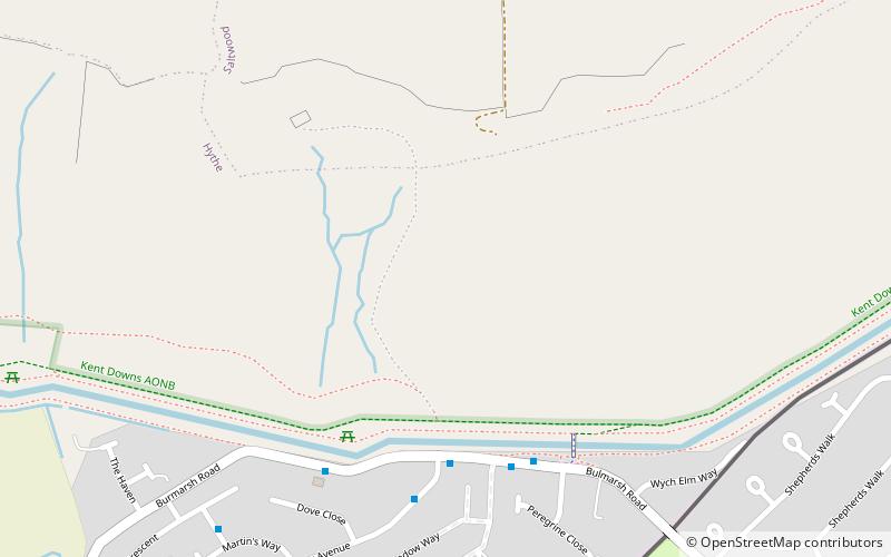
The Roughs are an escarpment of the North Downs above Romney Marsh in Kent, on the south coast of England. The term is generally applied to the section between Hythe and West Hythe but the structure extends as far west as Bilsington, and the highest point is 106 m just west of Port Lympne Mansion ()
Coordinates: 51°4'4"N, 1°3'2"E
Address
Kent Downs
ContactAdd
Social media
Add
Day trips
The Roughs – popular in the area (distance from the attraction)
Nearby attractions include: Port Lympne Reserve, Folkestone Ski Centre, Sandgate Castle, Leas Cliff Hall.
Frequently Asked Questions (FAQ)
How to get to The Roughs by public transport?
The nearest stations to The Roughs:
Train
Train
- Hythe (25 min walk)


