Kinmylies, Inverness
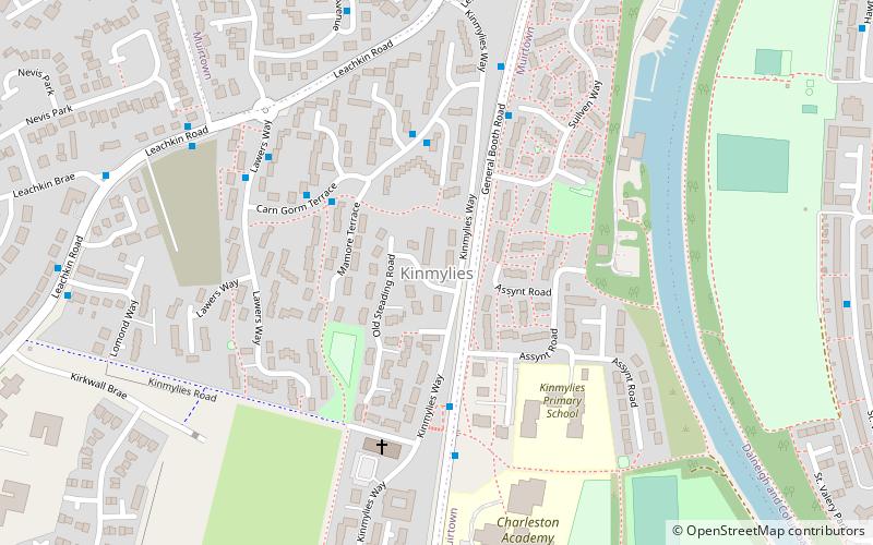
Map
Facts and practical information
Kinmylies is an area in the west end of the city of Inverness in the Scottish Highlands. The area sits between the side of the hill Craig Phadrig; and the Caledonian Canal. The local football team was Caledonian F.C. until they merged with another team to form Inverness Caledonian Thistle and moved out of the area. ()
Coordinates: 57°28'25"N, 4°15'27"W
Address
Inverness
ContactAdd
Social media
Add
Day trips
Kinmylies – popular in the area (distance from the attraction)
Nearby attractions include: Inverness Castle, St Mary's Catholic Church, Greig Street Bridge, Inverness Museum and Art Gallery.
Frequently Asked Questions (FAQ)
Which popular attractions are close to Kinmylies?
Nearby attractions include Dalneigh, Inverness (14 min walk), Balnafettack, Inverness (14 min walk), Scorguie, Inverness (17 min walk), Muirtown, Inverness (19 min walk).
How to get to Kinmylies by public transport?
The nearest stations to Kinmylies:
Bus
Bus
- Balifearry Lane • Lines: 917 (21 min walk)
- Ballifeary Lane • Lines: 917 (21 min walk)


