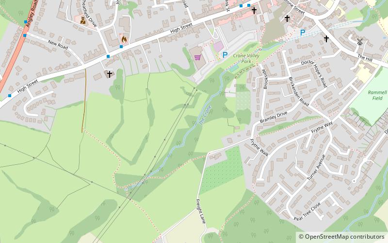
Crane Valley, Cranbrook

Gallery (1)
Map
Map
Facts and practical information
Crane Valley is a 0.8-hectare Local Nature Reserve in Cranbrook in Kent. It is owned and managed by Tunbridge Wells Borough Council. ()
Elevation: 276 ft a.s.l.Coordinates: 51°5'35"N, 0°31'55"E
Address
Cranbrook
ContactAdd
Social media
Add
Day trips
Crane Valley – popular in the area (distance from the attraction)
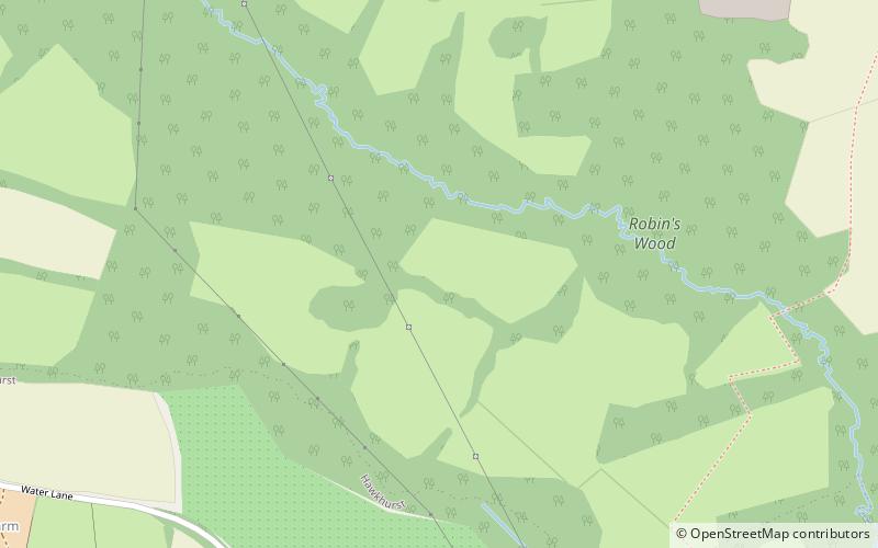
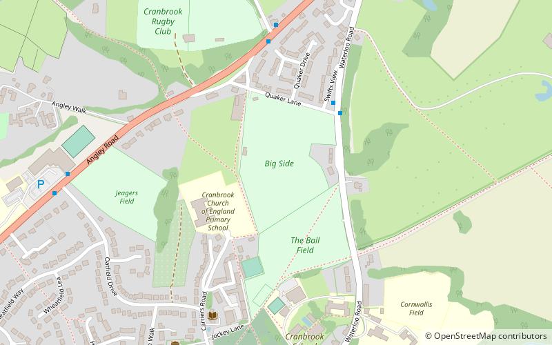
Nearby attractions include: Union Mill, Robins Wood, St Dunstan's Church, Cranbrook Museum.


Frequently Asked Questions (FAQ)
Which popular attractions are close to Crane Valley?
Nearby attractions include Cranbrook Museum, Cranbrook (9 min walk), St Dunstan's Church, Cranbrook (9 min walk), Union Mill, Cranbrook (9 min walk).