Kelvindale, Glasgow
Map
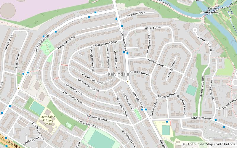
Map

Facts and practical information
Kelvindale is a district in the West End of the city of Glasgow, Scotland. Kelvindale shares the G12 postcode with the neighbouring residential districts of Kelvinside, Hillhead, Hyndland, Dowanhill, as well as Gartnavel General Hospital, Glasgow Clyde College and the University of Glasgow, and is also close to the Anniesland and Wyndford areas of the city. The area is characterised by traditional interwar housing, formed of tenements and semi-detached houses. ()
Coordinates: 55°53'23"N, 4°18'31"W
Address
KelvindaleGlasgow
ContactAdd
Social media
Add
Day trips
Kelvindale – popular in the area (distance from the attraction)
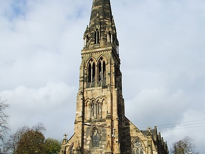
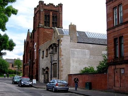
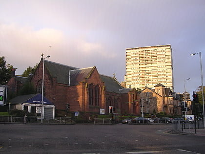
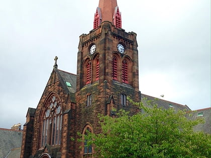
Nearby attractions include: Glasgow Botanic Gardens, Cottiers, Ruchill Church Hall, Balshagray Victoria Park Church.
Frequently Asked Questions (FAQ)
Which popular attractions are close to Kelvindale?
Nearby attractions include St John's Renfield Church, Glasgow (7 min walk), Kelvin Aqueduct, Glasgow (9 min walk), Kelvinside, Glasgow (14 min walk), Scottish Mask and Puppet Centre, Glasgow (14 min walk).
How to get to Kelvindale by public transport?
The nearest stations to Kelvindale:
Bus
Train
Metro
Bus
- Kelvindale, Cleveden Road/ Highfield Place • Lines: 94 (2 min walk)
Train
- Kelvindale (7 min walk)
- Anniesland (13 min walk)
Metro
- Hillhead • Lines: Subway (30 min walk)
- Kelvinbridge • Lines: Subway (40 min walk)


