The Polygon, Southampton
Map
Map

Facts and practical information
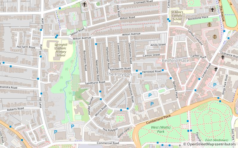
The Polygon is an area in the city of Southampton, England. ()
Coordinates: 50°54'43"N, 1°24'36"W
Address
Southampton Itchen (Bargate)Southampton
ContactAdd
Social media
Add
Day trips
The Polygon – popular in the area (distance from the attraction)
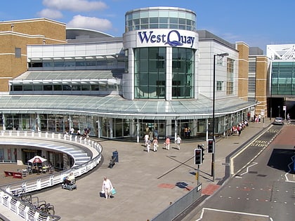
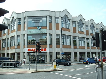
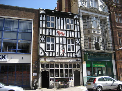
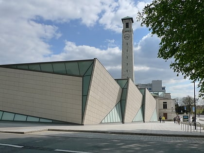
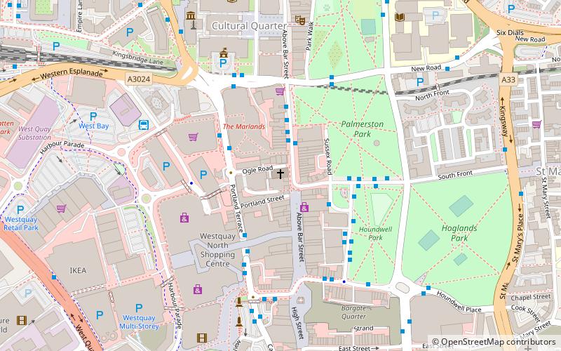
Nearby attractions include: Westquay, The Marlands, St Mary's Stadium, Red Lion Inn.
Frequently Asked Questions (FAQ)
Which popular attractions are close to The Polygon?
Nearby attractions include Central Baptist Church, Southampton (1 min walk), Watts Park, Southampton (6 min walk), Titanic Musicians' Memorial, Southampton (6 min walk), Mayflower Theatre, Southampton (7 min walk).
How to get to The Polygon by public transport?
The nearest stations to The Polygon:
Bus
Train
Bus
- Giddy Bridge • Lines: U1A, U2, U2B, U2C (7 min walk)
- Mayflower Halls • Lines: U2, U2B, U2C (7 min walk)
Train
- Southampton Central (10 min walk)
- Millbrook (27 min walk)

