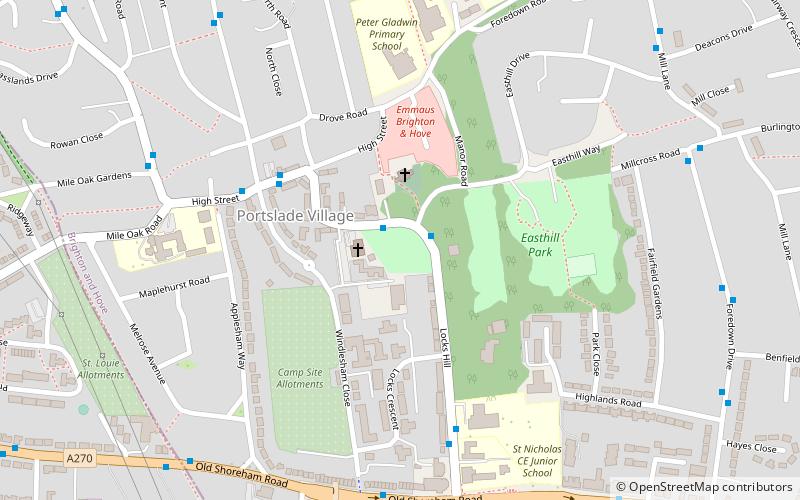
Portslade Manor, Shoreham-by-Sea
Map

Map

Facts and practical information
Portslade Old Manor is one of a very few examples of Norman manor houses that still exist in England. It has been deemed a Scheduled Ancient Monument, and a Grade II* listed building. ()
Elevation: 92 ft a.s.l.Coordinates: 50°50'31"N, 0°13'6"W
Address
North Portslade (Mile Oak and Portslade Village)Shoreham-by-Sea
ContactAdd
Social media
Add
Day trips
Portslade Manor – popular in the area (distance from the attraction)
Nearby attractions include: Benfield Hill, Town Hall, St Nicolas Church, St Julian's Church.
Frequently Asked Questions (FAQ)
Which popular attractions are close to Portslade Manor?
Nearby attractions include St Nicolas Church, Brighton (2 min walk), Portslade, Brighton (5 min walk), Shri Swaminarayan Mandir, Brighton (10 min walk), Town Hall, Brighton (11 min walk).
How to get to Portslade Manor by public transport?
The nearest stations to Portslade Manor:
Bus
Train
Bus
- St Nicholas Church • Lines: 1, 16B, 1A, N1 (1 min walk)
- Portslade High Street • Lines: 55 (4 min walk)
Train
- Fishersgate (14 min walk)
- Portslade (19 min walk)


