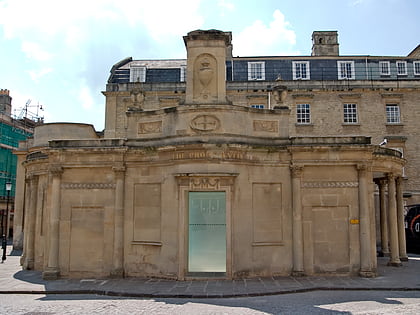
Devonshire Tunnel, Bath
Map
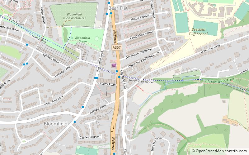
Map

Facts and practical information
Devonshire Tunnel is on the closed Somerset & Dorset Joint Railway main line, between Midford and Bath Green Park railway stations, below high ground and the southern suburbs of Bath, England, emerging below the northern slopes of Combe Down village. It opened in 1874 and was named after the road called Devonshire Buildings which lie immediately above the tunnel. ()
Coordinates: 51°22'10"N, 2°21'56"W
Address
Bath
ContactAdd
Social media
Add
Day trips
Devonshire Tunnel – popular in the area (distance from the attraction)
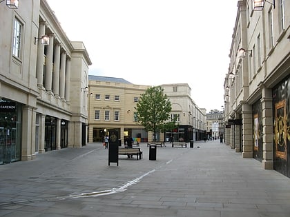
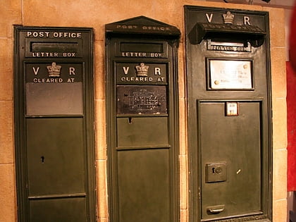
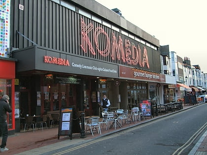
Nearby attractions include: Roman Baths, SouthGate, Bath Postal Museum, Komedia.
Frequently Asked Questions (FAQ)
Which popular attractions are close to Devonshire Tunnel?
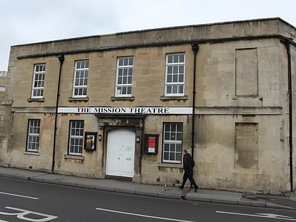
Nearby attractions include Bear Flat, Bath (6 min walk), Church of Our Lady & St Alphege, Bath (14 min walk), Mission Theatre, Bath (18 min walk), Bath Postal Museum, Bath (18 min walk).
How to get to Devonshire Tunnel by public transport?
The nearest stations to Devonshire Tunnel:
Bus
Train
Bus
- Devonshire Buildings • Lines: 171, 172, 173, 174 (1 min walk)
- Wellsway • Lines: 171, 172, 173, 174 (7 min walk)
Train
- Bath Spa (18 min walk)
- Oldfield Park (24 min walk)


