Baltic Triangle, Liverpool
Map
Facts and practical information
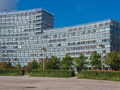
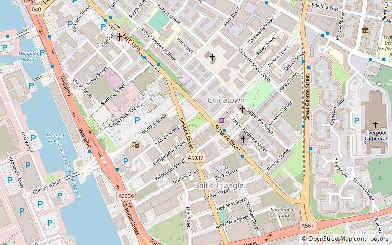
The Baltic Triangle is a development area in Liverpool city centre. Liverpool City Council originally defined the area as being bounded by Liver Street, Park Lane, Parliament Street and Chaloner Street / Wapping. However, since the closure of Cains Brewery and its resurgence as Cains Brewery Village, Liverpool council have extended the Baltic Triangle area through to Hill Street. ()
Elevation: 62 ft a.s.l.Coordinates: 53°23'51"N, 2°58'52"W
Address
RiversideLiverpool
ContactAdd
Social media
Add
Day trips
Baltic Triangle – popular in the area (distance from the attraction)
Nearby attractions include: Bold Street, Liverpool Cathedral, Liverpool One, Cream.
Frequently Asked Questions (FAQ)
Which popular attractions are close to Baltic Triangle?
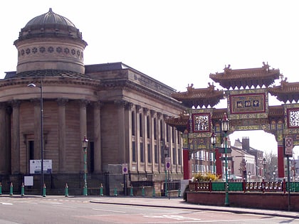
Nearby attractions include Chinatown, Liverpool (2 min walk), Church of St Vincent de Paul, Liverpool (3 min walk), The Black-E, Liverpool (6 min walk), St Peter's Roman Catholic Church, Liverpool (9 min walk).
How to get to Baltic Triangle by public transport?
The nearest stations to Baltic Triangle:
Bus
Train
Bus
- Liverpool One (11 min walk)
- Paradise St Interchange • Lines: 500 (11 min walk)
Train
- Liverpool Central (13 min walk)
- Liverpool James Street (18 min walk)


