Blendon, Dartford
Map
Facts and practical information
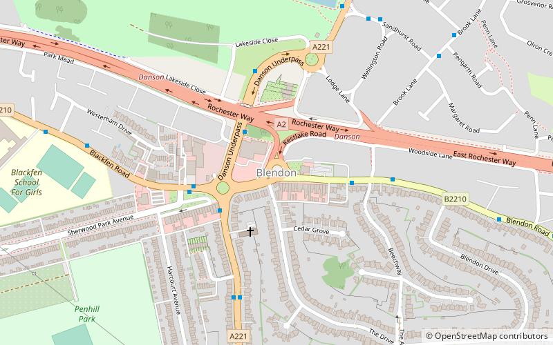
Blendon is an area of South East London within the London Borough of Bexley, located between Bexleyheath and Sidcup. ()
Coordinates: 51°26'54"N, 0°7'14"E
Address
Bexley (Blendon and Penhill)Dartford
ContactAdd
Social media
Add
Getting there by public transportation
Public transportation stops near this location
- Bus
- Train
 Bus
Bus
- Calculate routeHail & Ride Penhill Road 3 min walk
- Calculate routeDanson Underpass 3 min walk
- Calculate routeBlackfen Road / Penhill Road 3 min walk
- Calculate routeBlendon / Penhill Road 4 min walk
- Calculate routeAlbany Park 24 min walk
- Calculate routeBexleyheath 31 min walk
- Calculate routeSidcup 32 min walk
- Calculate routeWelling 36 min walk
Day trips


Frequently Asked Questions (FAQ)
Which popular attractions are close to Blendon?
Nearby attractions include Danson Park, London (13 min walk), Danson House, London (15 min walk), Red House, London (17 min walk), Crook Log, London (21 min walk).
How to get to Blendon by public transport?
The nearest stations to Blendon:
Bus
Train
Bus
- Hail & Ride Penhill Road • Lines: B14 (3 min walk)
- Danson Underpass • Lines: B13, B14 (3 min walk)
Train
- Albany Park (24 min walk)
- Bexleyheath (31 min walk)