Radford Meadows, Stafford
Map

Map

Facts and practical information
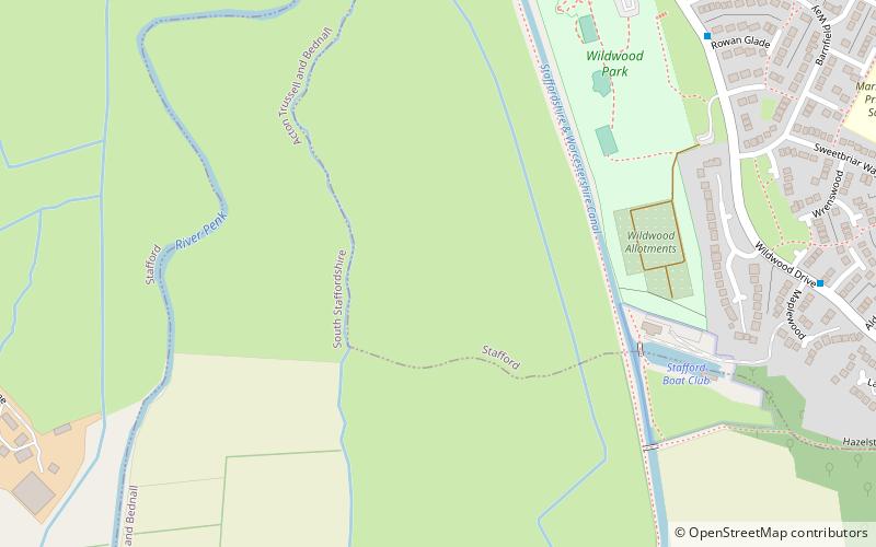
Radford Meadows is a nature reserve of the Staffordshire Wildlife Trust, on the southern edge of Stafford, in Staffordshire, England. The reserve is a floodplain situated between the River Penk to the west, and the Staffordshire and Worcestershire Canal. ()
Elevation: 240 ft a.s.l.Coordinates: 52°46'55"N, 2°5'36"W
Address
Stafford
ContactAdd
Social media
Add
Day trips
Radford Meadows – popular in the area (distance from the attraction)
Nearby attractions include: St Mary's Church, Shire Hall, Stafford Castle, St Chad's Church.
Frequently Asked Questions (FAQ)
How to get to Radford Meadows by public transport?
The nearest stations to Radford Meadows:
Bus
Bus
- Barn Bank Lane • Lines: 877, 878 (23 min walk)
- Boon Grove • Lines: 877, 878 (23 min walk)


