Leylands, Leeds

Map
Facts and practical information
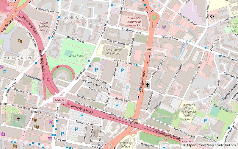
The Leylands was an area of Leeds, north of the city centre and west of Mabgate. John Cossins' 1726 Plan of Leedes shows two fields marked Ley Lands north of Lady Lane and west of the Sheepscar Beck which correspond to the area. ()
Coordinates: 53°48'7"N, 1°32'6"W
Address
University (Sheepscar)Leeds
ContactAdd
Social media
Add
Day trips
Leylands – popular in the area (distance from the attraction)
Nearby attractions include: Briggate, Leeds Corn Exchange, Leeds Kirkgate Market, Merrion Centre.
Frequently Asked Questions (FAQ)
Which popular attractions are close to Leylands?
Nearby attractions include Bridge Street, Leeds (3 min walk), Lovell Park, Leeds (6 min walk), Mabgate, Leeds (6 min walk), West Yorkshire Playhouse, Leeds (8 min walk).
How to get to Leylands by public transport?
The nearest stations to Leylands:
Bus
Ferry
Train
Bus
- Lovell Park • Lines: 12, 13, 13A, 2 (3 min walk)
- Victoria M • Lines: 11, 11A (6 min walk)
Ferry
- Leeds Water Taxi Dock • Lines: Leeds Dock Water Taxi (22 min walk)
Train
- Leeds (20 min walk)


