Gedling Country Park, Nottingham

Facts and practical information
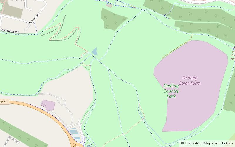
Gedling Country Park is a verdant oasis of tranquility nestled in the heart of Nottingham, United Kingdom. Spread over 580 acres of rolling hills and woodlands, this park is a testament to the transformation of a former colliery site into a beautiful natural space for the community and visitors alike.
The park's history is rooted in its past as the Gedling Colliery, which operated from 1902 until its closure in 1991. After years of planning and development, the site was reborn as Gedling Country Park, officially opening to the public in 2015. It stands as an impressive example of industrial land repurposed for recreational use, providing a habitat for wildlife and a place for people to enjoy the outdoors.
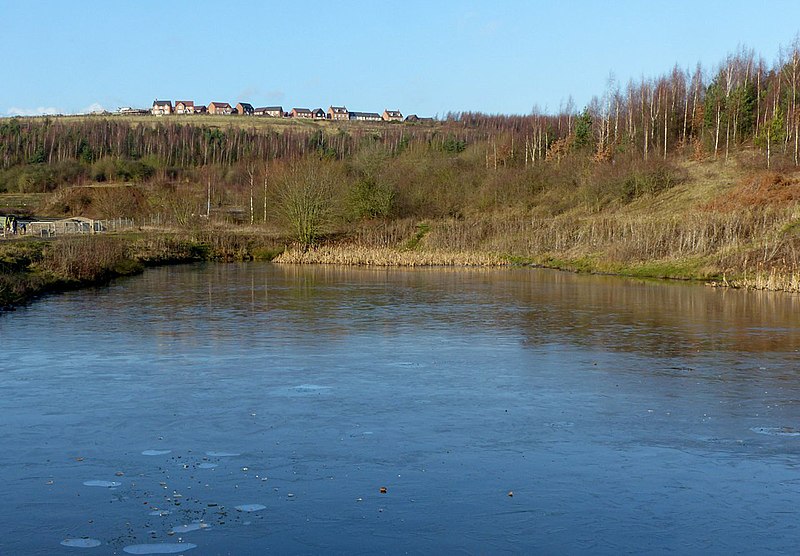
Visitors to Gedling Country Park can explore a network of paths that meander through diverse landscapes, including woodlands, grasslands, and wetlands. The park boasts a rich biodiversity, with numerous species of plants, birds, and insects thriving within its bounds. It is a popular spot for birdwatching, nature photography, and simply enjoying the serenity of the natural environment.
One of the park's highlights is the stunning view from the highest point, known as Gedling Hill. From here, one can take in panoramic vistas of the surrounding Nottinghamshire countryside and even spot landmarks like Nottingham city and the Trent Valley.
For families and those seeking leisure activities, Gedling Country Park offers a well-equipped playground for children, picnic areas, and a visitor center with a café serving refreshments. The park is also a favored destination for health and fitness enthusiasts, with trails suitable for walking, running, and cycling.
Nottingham
- Bus
 Bus
Bus
- Calculate routeLambley Lane 15 min walk
- Calculate routeNewton Road 14 min walk


Frequently Asked Questions (FAQ)
How to get to Gedling Country Park by public transport?
Bus
- Lambley Lane • Lines: 47, L74 (15 min walk)
- Newton Road • Lines: 44, 44A (14 min walk)