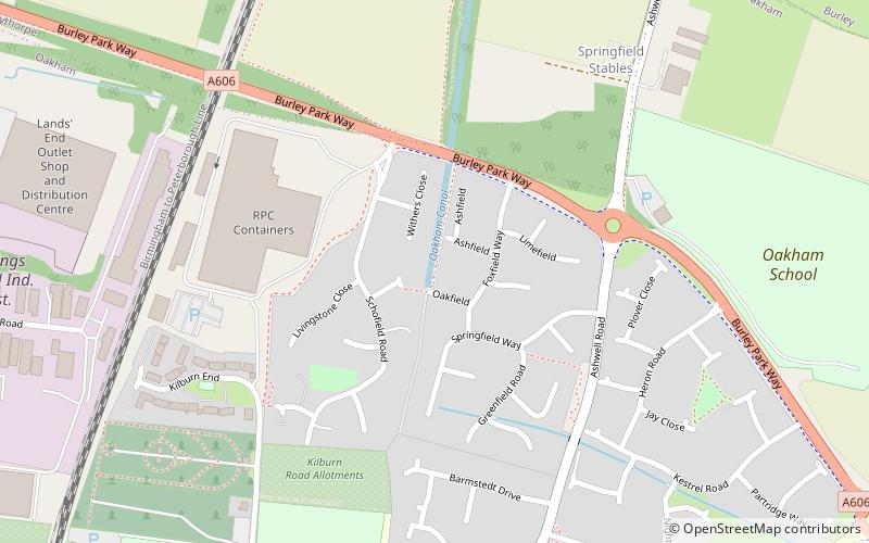
Oakham Canal, Oakham
Map

Map

Facts and practical information
The Oakham Canal ran from Oakham, Rutland to Melton Mowbray, Leicestershire in the East Midlands of England. It opened in 1802, but it was never a financial success, and it suffered from the lack of an adequate water supply. It closed after 45 years, when it was bought by the Midland Railway to allow the Syston and Peterborough Railway to be built, partly along its course. Most of it is infilled, although much of its route can still be seen in the landscape, and there are short sections which still hold water. ()
Coordinates: 52°40'45"N, 0°43'34"W
Address
Oakham
ContactAdd
Social media
Add
Day trips
Oakham Canal – popular in the area (distance from the attraction)
Nearby attractions include: Oakham Castle, All Saints' Church, Rutland County Museum, Hereward Way.
Frequently Asked Questions (FAQ)
Which popular attractions are close to Oakham Canal?
Nearby attractions include Oakham Castle, Oakham (15 min walk), All Saints' Church, Oakham (15 min walk), Rutland County Museum, Oakham (20 min walk).
How to get to Oakham Canal by public transport?
The nearest stations to Oakham Canal:
Train
Train
- Oakham (16 min walk)


