Harlow Jewish Community, Harlow
Map
Facts and practical information
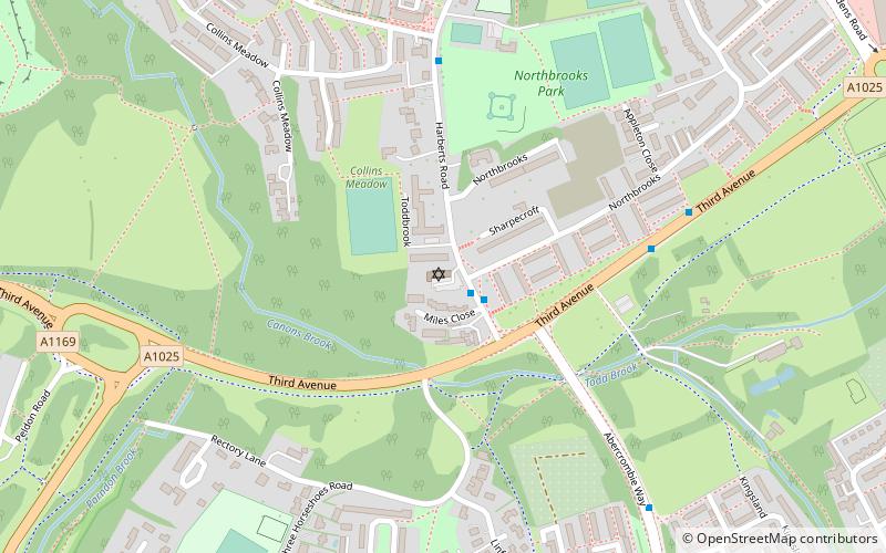
Harlow Jewish Community, a member of the Movement for Reform Judaism, is a Reform Jewish congregation whose synagogue is at Harberts Road, Harlow, in Essex, England. The congregation dates from 1952. Irit Shillor has been its Rabbi since 2005. ()
Coordinates: 51°45'46"N, 0°5'4"E
Address
Harlow
ContactAdd
Social media
Add
Getting there by public transportation
Public transportation stops near this location
- Bus
 Bus
Bus
- Calculate routeNorthbrooks 1 min walk
- Calculate routeThird Avenue 5 min walk
- Calculate routeGolden Swift 6 min walk
- Calculate routeKingsland 7 min walk
Day trips


Frequently Asked Questions (FAQ)
Which popular attractions are close to Harlow Jewish Community?
Nearby attractions include Hawkenbury Meadow, Harlow (11 min walk), The Square, Harlow (15 min walk).
How to get to Harlow Jewish Community by public transport?
The nearest stations to Harlow Jewish Community:
Bus
Bus
- Northbrooks • Lines: 5 (1 min walk)
- Third Avenue • Lines: 1, 2, 3, 505, 86, 87 (5 min walk)