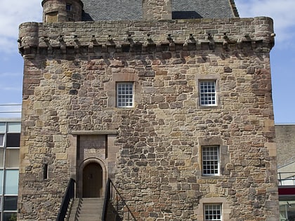
Viewforth Church, Edinburgh
Map
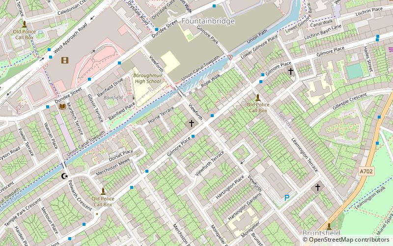
Map

Facts and practical information
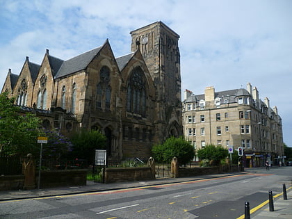
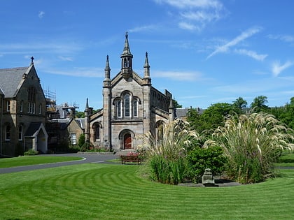
Viewforth Church is a notable example of the Gothic Revival style of Architecture, located in the Polwarth area of Edinburgh. Originally known as the St Peter's Free Church, and subsequently the Church of St David and St Oswald, the building is prominently located on two principal streets in the Bruntsfield and Fountainbridge neighbourhoods, at the intersection of Viewforth and Gilmore Place. ()
Coordinates: 55°56'23"N, 3°12'45"W
Address
PolwarthEdinburgh
ContactAdd
Social media
Add
Day trips
Viewforth Church – popular in the area (distance from the attraction)
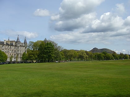
Nearby attractions include: Bruntsfield Links, Warrender Swim Centre, St Mary's Cathedral, Cameo Cinema.
Frequently Asked Questions (FAQ)
Which popular attractions are close to Viewforth Church?
Nearby attractions include Union Canal, Edinburgh (3 min walk), Leamington Lift Bridge, Edinburgh (4 min walk), Fountainbridge, Edinburgh (5 min walk), Barclay Viewforth Church, Edinburgh (10 min walk).
How to get to Viewforth Church by public transport?
The nearest stations to Viewforth Church:
Bus
Train
Tram
Bus
- Viewforth • Lines: 10, 27 (1 min walk)
- Leamington Terrace • Lines: 10, 27 (4 min walk)
Train
- Haymarket (12 min walk)
- Edinburgh Waverley (31 min walk)
Tram
- Haymarket • Lines: Edinburgh Trams Eastbound, Edinburgh Trams Westbound (13 min walk)
- West End • Lines: Edinburgh Trams Eastbound, Edinburgh Trams Westbound (16 min walk)
