Fairfields, Milton Keynes

Map
Facts and practical information
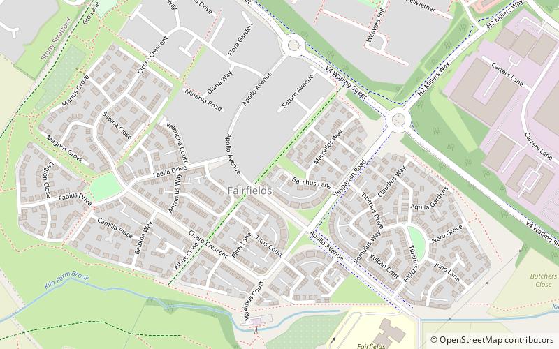
Fairfields is a district and civil parish that covers a large new development area on the western flank of Milton Keynes, Buckinghamshire, England. As the first tier of Local Government, the parish council is responsible for the people who live and work in this area of Milton Keynes. ()
Coordinates: 52°2'43"N, 0°50'10"W
Address
Milton Keynes
ContactAdd
Social media
Add
Day trips
Fairfields – popular in the area (distance from the attraction)
Nearby attractions include: St Mary & St Giles Church, Wolverton, Stony Stratford, Wolverton railway works.


