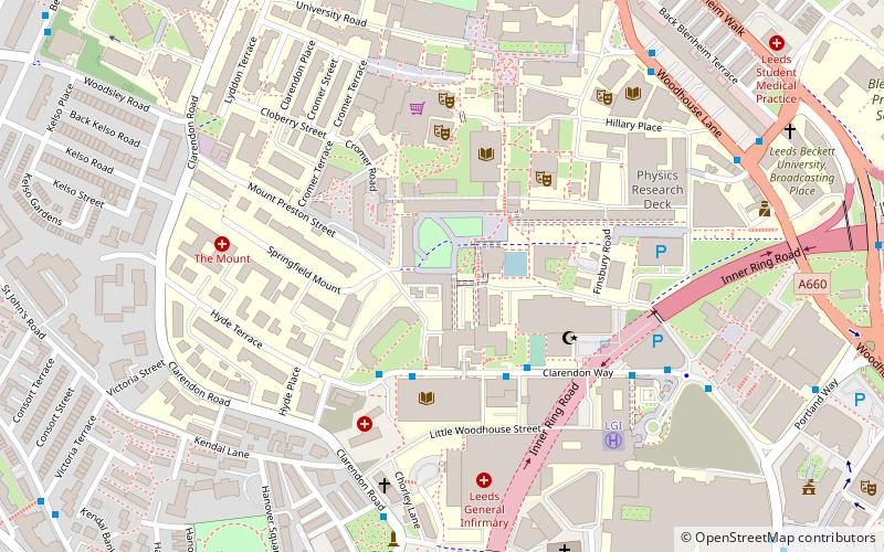
School of Geography, Leeds

Map
Facts and practical information
The School of Geography is part of the Faculty of Environment at The University of Leeds based in the UK. ()
Coordinates: 53°48'17"N, 1°33'20"W
Address
University (Woodhouse)Leeds
ContactAdd
Social media
Add
Day trips
School of Geography – popular in the area (distance from the attraction)
Nearby attractions include: Meanwood Valley Trail, The Light, Leeds War Memorial, Leeds Town Hall.
Frequently Asked Questions (FAQ)
Which popular attractions are close to School of Geography?
Nearby attractions include Hostel of the Resurrection, Leeds (4 min walk), University of Leeds Refectory, Leeds (4 min walk), Josephs Well, Leeds (5 min walk), Brotherton Library, Leeds (6 min walk).
How to get to School of Geography by public transport?
The nearest stations to School of Geography:
Bus
Train
Ferry
Bus
- Clarendon Way Dental Hospital • Lines: Lcb (3 min walk)
- Calverley Way Worsley Building • Lines: Lcb (3 min walk)
Train
- Leeds (20 min walk)
- Burley Park (27 min walk)
Ferry
- Leeds Water Taxi Dock • Lines: Leeds Dock Water Taxi (33 min walk)


