Stobswell, Dundee
Map
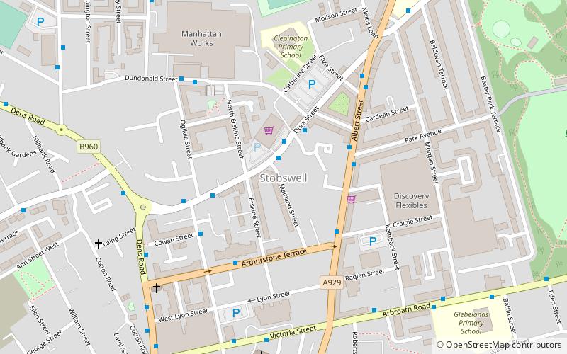
Map

Facts and practical information
Stobswell is an area of Dundee, Scotland with a population of approximately 10,000. It was originally a small hamlet outside the city until the industrial revolution caused the growth of Dundee. The area is by and large a residential area. Schools in the area are Morgan Academy Secondary School, Glebelands Primary School and Clepington Primary School. The area is home to the Dundee International Sports Centre. ()
Coordinates: 56°28'14"N, 2°57'33"W
Address
Dundee
ContactAdd
Social media
Add
Day trips
Stobswell – popular in the area (distance from the attraction)
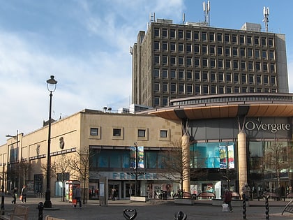
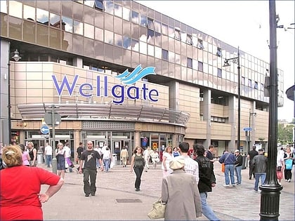
Nearby attractions include: V&A Dundee, Overgate Centre, Wellgate Centre, Tannadice Park.
Frequently Asked Questions (FAQ)
Which popular attractions are close to Stobswell?
Nearby attractions include Baxter Park, Dundee (9 min walk), Dundee Museum of Transport, Dundee (13 min walk), St Mary, Dundee (13 min walk), Dundee International Submarine Memorial, Dundee (14 min walk).
How to get to Stobswell by public transport?
The nearest stations to Stobswell:
Bus
Train
Bus
- Dundee Seagate Bus Station (15 min walk)
- Seagate Bus Station • Lines: 16 (15 min walk)
Train
- Dundee (27 min walk)


