Accrington Town Hall, Accrington
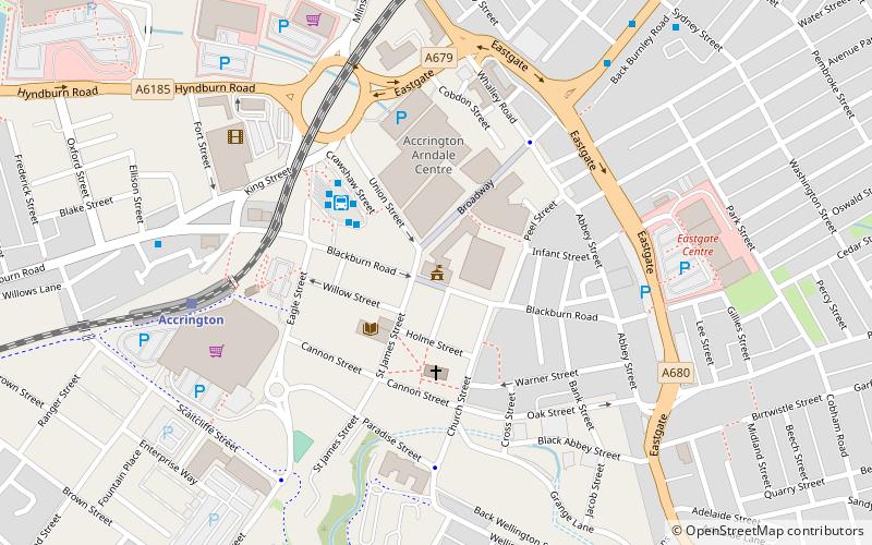
Map

Map

Facts and practical information
Accrington Town Hall is a municipal building in Blackburn Road, Accrington, Lancashire, England. The town hall, which was the headquarters of Accrington Borough Council, is a grade II* listed building. ()
Coordinates: 53°45'11"N, 2°21'55"W
Address
42-44 Blackburn RoadAccrington
Contact
+44 1254 233816
Social media
Add
Day trips
Accrington Town Hall – popular in the area (distance from the attraction)
Nearby attractions include: Crown Ground, Haworth Art Gallery, St James' Church, Accrington Library.
Frequently Asked Questions (FAQ)
Which popular attractions are close to Accrington Town Hall?
Nearby attractions include Accrington Library, Accrington (3 min walk), Accrington and Rossendale College, Accrington (15 min walk), Crown Ground, Accrington (23 min walk).
How to get to Accrington Town Hall by public transport?
The nearest stations to Accrington Town Hall:
Bus
Train
Bus
- Accrington Bus Station • Lines: 9, 9 (Limited Service), M1 (3 min walk)
- Bradshaw Street East • Lines: 9, 9 (Limited Service), M1 (7 min walk)
Train
- Accrington (6 min walk)
- Church and Oswaldtwistle (28 min walk)


