Mynydd Hendre-ddu, Dinas Mawddwy
Map

Map

Facts and practical information
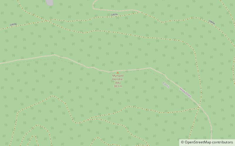
Mynydd Hendre-ddu or Mynydd Hendreddu is a mountain in southern Snowdonia, Wales. It is one of a line of mountains running from Mynydd Dolgoed in the north, through Mynydd Llwydiarth to Mynydd Hendre-ddu and on to Mynydd y Foel, Y Grug, Mynydd Tri-Arglwyd and Mynydd Gwyn to the south of the village of Aberangell. It forms the watershed between Nant Llwydiarth, which flows to the south-west and into the Afon Dulas, and streams flowing into Afon Angell to the north, which flow east into the River Dyfi. ()
Coordinates: 52°41'34"N, 3°46'27"W
Address
Dinas Mawddwy
ContactAdd
Social media
Add
Day trips
Mynydd Hendre-ddu – popular in the area (distance from the attraction)
Nearby attractions include: Glyndŵr's Way, Hughes Memorial, Pont Minllyn, St Mark's Church.


