Butterley Reservoir, Ripley
Map

Map

Facts and practical information
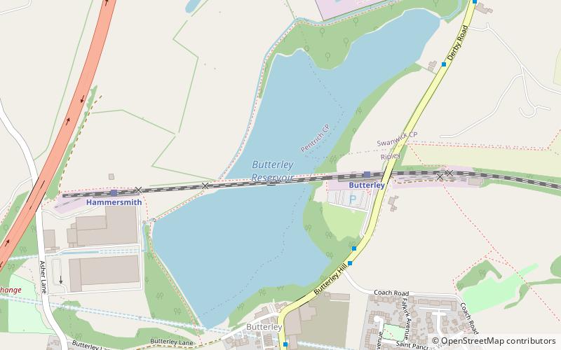
Butterley Reservoir is a reservoir in Derbyshire, England. The reservoir was built to provide water for the Cromford Canal which opened for use in 1794. The Codnor Park and Butterley Park reservoirs also provided water to the Cromford Canal. ()
Elevation: 338 ft a.s.l.Coordinates: 53°3'48"N, 1°24'14"W
Address
Ripley
ContactAdd
Social media
Add
Day trips
Butterley Reservoir – popular in the area (distance from the attraction)
Nearby attractions include: Midland Railway – Butterley, National Tramway Museum, Town Hall, Ripley Town Hall.
Frequently Asked Questions (FAQ)
Which popular attractions are close to Butterley Reservoir?
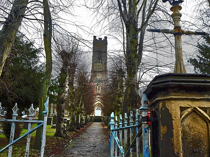
Nearby attractions include Midland Railway – Butterley, Ripley (5 min walk), All Saints' Church, Ripley (22 min walk), Ripley Town Hall, Ripley (23 min walk).


