Clovelly Dykes, North Devon Coast
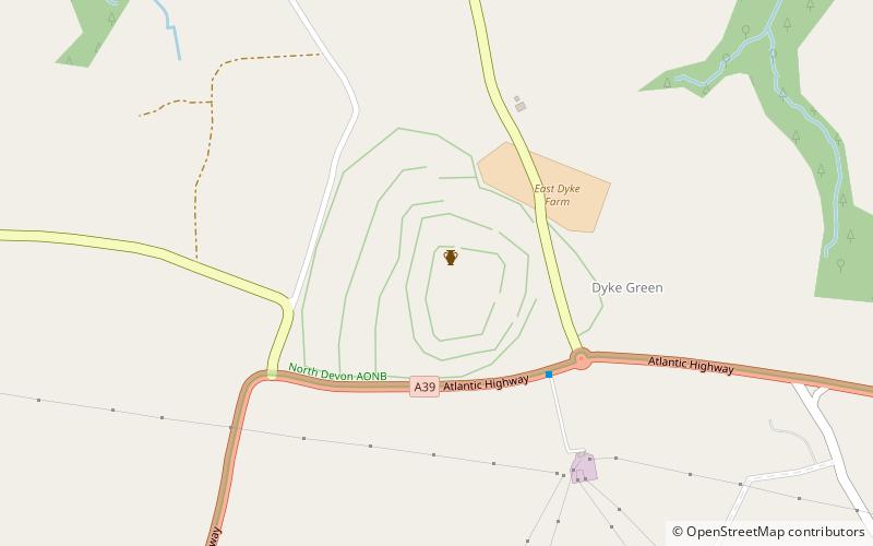
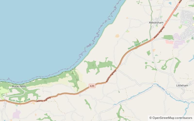
Map
Facts and practical information
Clovelly Dykes is an Iron Age hill fort or earthwork near Clovelly, Devon, England. Situated on the high plateau behind the coast at approx 210 metres above sea level, it is one of the largest and most impressive Early Iron Age hill-forts in Devon. It is a complex series of earthworks covering more than 20 acres. ()
Coordinates: 50°59'9"N, 4°24'28"W
Address
North Devon Coast
ContactAdd
Social media
Add
Day trips
Clovelly Dykes – popular in the area (distance from the attraction)
Nearby attractions include: Hartland Point Lighthouse, Hartland Quay, St Nectan's Church, Hartland Abbey.

