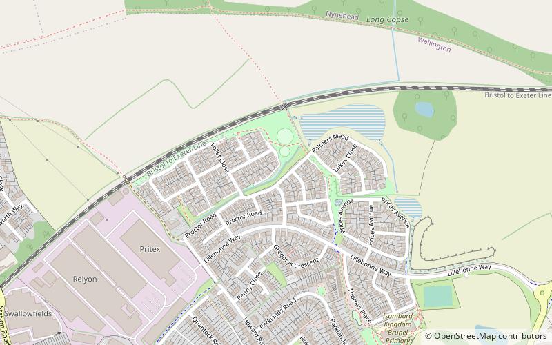
Longforth Farm, Ringdown SSSI

Map
Facts and practical information
Longforth Farm, on the outskirts of Wellington, Somerset, England, is the site of a Bronze Age landscape and an extensive medieval structure. ()
Coordinates: 50°59'13"N, 3°13'51"W
Address
Ringdown SSSI
ContactAdd
Social media
Add
Day trips
Longforth Farm – popular in the area (distance from the attraction)
Nearby attractions include: Wellington Arts Centre, All Saints Church, Church of St John the Baptist, Tonedale Mills.
Frequently Asked Questions (FAQ)
How to get to Longforth Farm by public transport?
The nearest stations to Longforth Farm:
Bus
Bus
- Longforth Road Car Park (13 min walk)


