Hail Storm Hill, Rossendale
Map

Map

Facts and practical information
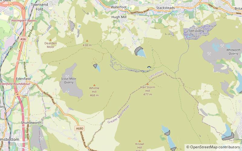
Hail Storm Hill, also known as Cowpe Moss, is the highest point of the Rossendale Valley, England, an area of moorland and hill country situated between the West Pennine Moors and the South Pennines. It is wholly within Lancashire, although the administrative county boundary with the Metropolitan Borough of Rochdale passes just a kilometre to the south-east of the summit. ()
Coordinates: 53°40'12"N, 2°15'4"W
Address
Rossendale
ContactAdd
Social media
Add
Day trips
Hail Storm Hill – popular in the area (distance from the attraction)
Nearby attractions include: Lee Quarry, Healey Dell Viaduct, Helmshore Mills Textile Museum, Longholme Methodist Church.


