Wheal Owles, Pendeen
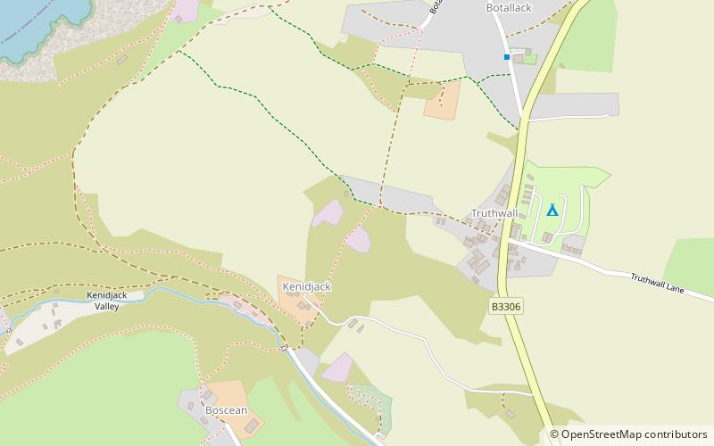
Map

Map

Facts and practical information
Wheal Owles was a tin mine in the parish of St Just in Cornwall, UK and the site of a disaster in 1893 when twenty miners lost their lives. Since 2006 it has been part of the UNESCO World Heritage Site – Cornwall and West Devon Mining Landscape. The mine is within the Aire Point to Carrick Du Site of Special Scientific Interest and the South West Coast Path passes along the cliff. ()
Coordinates: 50°8'3"N, 5°41'16"W
Address
Pendeen
ContactAdd
Social media
Add
Day trips
Wheal Owles – popular in the area (distance from the attraction)
Nearby attractions include: Levant Mine and Beam Engine, Cot Valley, Botallack Mine, Ballowall Barrow.
Frequently Asked Questions (FAQ)
Which popular attractions are close to Wheal Owles?
Nearby attractions include Botallack Mine, St. Just in Penwith (12 min walk), Crown Mines, Pendeen (17 min walk), Kenidjack Valley, St. Just in Penwith (19 min walk), Plen-an-gwary, St. Just in Penwith (19 min walk).
How to get to Wheal Owles by public transport?
The nearest stations to Wheal Owles:
Bus
Bus
- St Just (20 min walk)
- St Just Terminus • Lines: 8 (20 min walk)


