Nottingham Urban Area, Nottingham
Map
Facts and practical information
The Nottingham Built-up Area, Nottingham Urban Area, or Greater Nottingham is an area of land defined by the Office for National Statistics as which is built upon, with nearby areas linked if within 200 metres - see the List of urban areas in the United Kingdom article for a broader definition. It consists of the city of Nottingham and the adjoining urban areas of Nottinghamshire and Derbyshire, in the East Midlands of England. It had a total population of 729,977 at the time of the 2011 census. This was an increase of almost 10% since the 2001 census recorded population of 666,358, due to population increases, reductions and several new sub-divisions. ()
Address
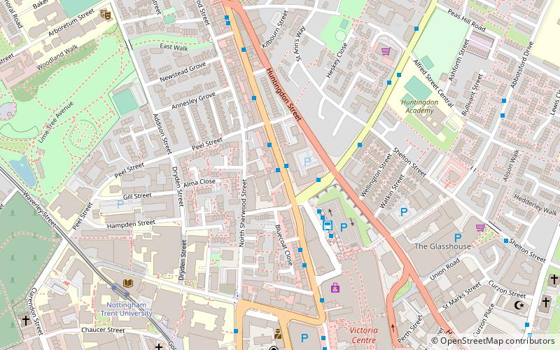
St. Ann'sNottingham
ContactAdd
Social media
Add
Getting there by public transportation
Public transportation stops near this location
- Bus
- Tram
- Train
 Bus
Bus
- Calculate routeWoodborough Road 2 min walk
- Calculate routeHuntingdon Street 2 min walk
- Calculate routeVictoria Bus Station 3 min walk
- Calculate routeNottingham Trent University 7 min walk
- Calculate routeRoyal Centre 9 min walk
- Calculate routeOld Market Square 13 min walk
- Calculate routeHigh School 13 min walk
- Calculate routeNottingham 23 min walk
Day trips


Frequently Asked Questions (FAQ)
Which popular attractions are close to Nottingham Urban Area?
Nearby attractions include Tunnels of Nottingham, Nottingham (4 min walk), Shakespeare Street Wesleyan Reform Chapel, Nottingham (5 min walk), Planet Bounce - Indoor Trampoline Park, Nottingham (6 min walk), Oldknows Factory, Nottingham (7 min walk).
How to get to Nottingham Urban Area by public transport?
The nearest stations to Nottingham Urban Area:
Bus
Tram
Train
Bus
- Woodborough Road • Lines: 141, 15, 16, 17, 3A, 3B, 3C, 56, 57, 58, 59, 68, 68A, 69, 69A, 70, 71, 87, 88, 89, 89A, Calverton Connection, N58, N68, N89, Pronto, Sa (2 min walk)
- Huntingdon Street • Lines: 45, 46, 47 (2 min walk)
Tram
- Nottingham Trent University • Lines: 1, 2 (7 min walk)
- Royal Centre • Lines: 1, 2 (9 min walk)
Train
- Nottingham (23 min walk)